Manali to Leh vs Srinagar to Leh: Which Route to Take in July 2026
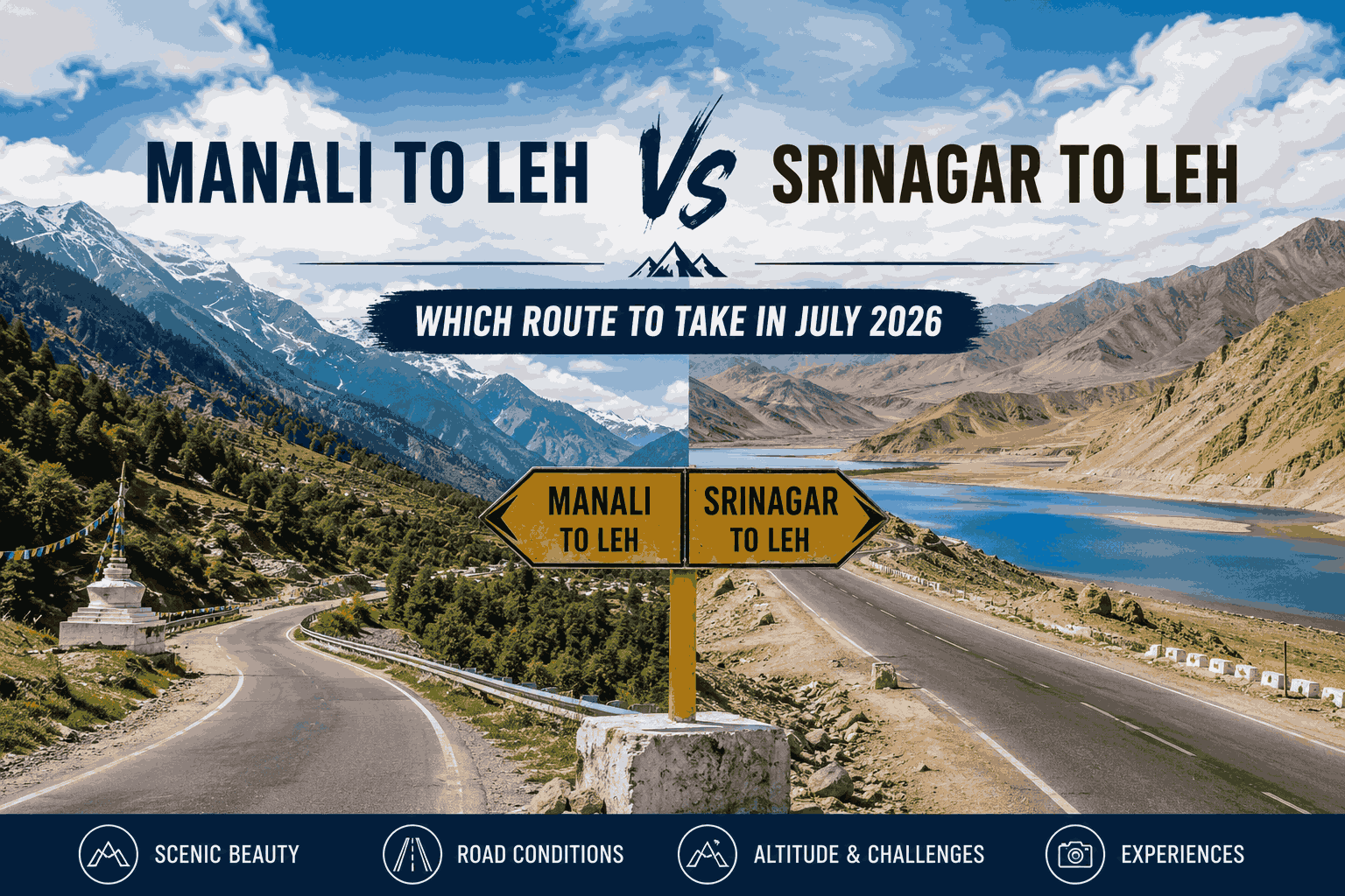
In July 2026, the Manali to Leh highway is the more adventurous but harder route — crossing five high-altitude passes including Tanglang La (5,328m) — while Srinagar to Leh via the NH1 is easier, lower, and better for acclimatisation. Both routes are typically open in July. The best choice depends on your altitude tolerance, travel experience, and trip duration.
In this Blog
Route at a Glance: Manali to Leh vs Srinagar to Leh
Here is a side-by-side comparison of the two main routes into Ladakh in July 2026.
| Feature | Manali to Leh | Srinagar to Leh |
|---|---|---|
| Distance | ~479 km | ~434 km |
| Duration | 2 days (with halt at Keylong or Jispa/Sarchu) | 1–2 days (with halt at Kargil) |
| Highest Pass | Tanglang La – 5,328m | Zoji La – 3,528m |
| Major Passes | Rohtang, Baralacha La, Lachulung La, Nakee La, Tanglang La | Zoji La only |
| Difficulty | High – suitable for experienced travellers | Moderate – beginner-friendly |
| Road Surface | Rough, river crossings, landslide-prone | Largely surfaced, NH quality |
| Network Coverage | Minimal (BSNL/Jio drops after Rohtang) | Better through Kargil and Drass |
| Fuel Availability | Keylong, Tandi (limited beyond) | Kargil (well-stocked) |
| Key Stops | Jispa, Keylong, Sarchu, More Plains | Drass, Kargil, Lamayuru |
| Best For | Adventure riders, experienced road-trippers | First-timers, families, those prone to AMS |
The Manali to Leh Route: Full Guide for July 2026
Overview of the Manali–Leh Highway
The Manali to Leh highway, officially NH3, is widely considered one of the most dramatic road journeys in the world. Stretching roughly 479 kilometres through Himachal Pradesh and Ladakh, the route climbs through five major mountain passes, cuts across the barren expanse of the More Plains, and demands at least two full days of driving. In July, it sits in its brief open window — snow has cleared from the passes, but monsoon rains occasionally bring landslides in the lower Himalayan stretches near Manali and Rohtang.
The Atal Tunnel, inaugurated in 2020 beneath Rohtang Pass, has changed the opening dynamic of this route. The tunnel keeps the Manali–Keylong stretch accessible even in winter. However, Baralacha La and Tanglang La remain seasonal — typically open from mid-June to mid-October.
The Five Passes on the Manali to Leh Route
The Manali–Leh highway is defined by its five passes. Understanding each one helps in planning daily halts and managing altitude exposure.
1. Rohtang Pass – 3,978m

Rohtang is the first real test of the Manali–Leh route, located just 51 km from Manali. In July, the pass is open and accessible via road, though many travellers now use the Atal Tunnel bypass to save time. The tunnel is 8.9 km long, connects Manali to Sissu in Lahaul, and eliminates the often-congested Rohtang ascent. The pass itself, if visited, offers views of glaciers, the Kullu Valley, and the dramatic shift from green Himalayan slopes into the dry brown of Lahaul.
2. Baralacha La – 4,892m

Baralacha La is the first genuinely high pass after Rohtang, and for many travellers it delivers the first tangible altitude effects — a mild headache, slower walking pace, or shortness of breath on exertion. The pass sits on the watershed between the Chandra and Yunan rivers and marks the transition from Lahaul into the higher reaches of Ladakh. In July, the road here is generally clear but can be icy at the summit in the early morning.
3. Lachulung La – 4,771m

Less dramatic than Baralacha La or Tanglang La, Lachulung La is a wide, open saddle on the plateau above the Pang valley. It’s a pass that many travellers barely notice because the road at this point is already at extreme altitude and the surrounding terrain blurs into the same brown plateau. Don’t mistake the visual monotony for an easy pass — at 4,771m, the air is thin and dehydration accumulates fast.
4. Nakee La – 4,739m

Shortly after Lachulung La, the highway crosses Nakee La — another wide plateau pass. The two passes are often crossed in quick succession and together define the high-altitude plateau driving that characterises this central section of the Manali–Leh highway. The More Plains, the flat expanse between these passes and Tanglang La, feel surreal — an almost Martian landscape of rust-red earth and enormous sky.
5. Tanglang La – 5,328m

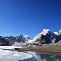
Tanglang La is the highest point on the Manali–Leh highway and one of the highest motorable passes in India. At 5,328m, the air contains roughly 55% of the oxygen available at sea level. There is a small shrine and signboard at the summit, and the views on a clear July day — snow-dusted peaks, a cloudless cobalt sky, the serpentine road falling away in both directions — are extraordinary. The descent from Tanglang La into the Indus Valley leads directly toward Leh.
Altitude note for Tanglang La: Even travellers who show no AMS symptoms at Sarchu or Pang may feel lightheaded at Tanglang La. Stop briefly, do not exert yourself, drink water, and move on. Do not linger at
Complete Day-by-Day Manali to Leh Itinerary (July 2026)
Day 0 — Arrive Manali (Rest Day Recommended)
Flying into Bhuntar Airport (Kullu) or arriving by overnight bus from Delhi, spend at least one full day in Manali before departure. At 2,050m, Manali provides a partial acclimatisation benefit. Use this day to service your vehicle or bike, stock up on supplies (medicines, energy bars, warm layers), and get an early sleep for the 5 AM departure that follows.
Day 1 — Manali to Jispa or Sarchu
Distance: 165 km to Jispa | 250 km to Sarchu
Estimated Drive Time: 5–6 hours to Jispa | 8–9 hours to Sarchu
Depart Manali no later than 5:30 AM. The early start serves two purposes: beating the Rohtang tourist traffic (significant on weekends) and ensuring you cross glacial streams before midday melt increases water levels.
Pass through Kokhsar, the first Lahaul checkpoint, and follow the Chandra River through the valley. Keylong (3,114m), the district headquarters of Lahaul-Spiti, appears after approximately 115 km. Stop here for breakfast, fuel at Tandi (8 km beyond Keylong), and a short rest.
From Tandi, the road begins climbing more seriously. Jispa (3,200m), a small riverside village strung along the Bhaga River, is the recommended overnight halt for cautious travellers or those with beginners in the group. It offers proper guesthouses, camp stays, and a peaceful environment. The altitude is manageable, the riverside setting is beautiful, and you wake up fresh for the high passes on Day 2.
Those confident in their altitude tolerance can push to Sarchu (4,290m), a seasonal settlement of tented camps that operates only during the open road season. Sarchu has no permanent infrastructure — just a row of camps, a handful of dhabas, and the cold, relentless Himalayan wind. It is dramatic and memorable. It is also 4,290m above sea level, and the altitude sickness rate at Sarchu is noticeably high.
Recommended halt based on traveller profile:
| Traveller Type | Recommended Halt | Altitude |
|---|---|---|
| First-timer or family | Keylong | 3,114m |
| Moderate experience | Jispa | 3,200m |
| Experienced high-altitude traveller | Sarchu | 4,290m |
| Racing to Leh (not recommended) | Pang | 4,600m |
Day 2 — Jispa/Sarchu to Leh
Distance: 230–260 km depending on start point
Estimated Drive Time: 9–12 hours
This is the longest and most demanding day of the drive. From Jispa, you climb through Baralacha La before the More Plains. From Sarchu, you move directly onto the plateau. The sequence of passes — Lachulung La, Nakee La, and finally Tanglang La — takes up the morning and early afternoon. Descend from Tanglang La into the Indus Valley, pass through Rumtse, and follow the highway into Leh.
The More Plains segment, between Pang and Tanglang La, deserves special mention. This 40-km stretch of high-altitude flatland at 4,500m+ is like driving across the top of the world — almost no vegetation, a wide gravel plain, and the road ruler-straight in the distance. It is one of the most visually arresting sections of any Indian highway.
Road Conditions on the Manali–Leh Route in July
July is the monsoon season in peninsular India, but Ladakh lies in the rain shadow of the Himalayas and receives minimal direct monsoon rainfall. However, the lower Himalayan sections — particularly the stretch between Manali and Rohtang, and around Baralacha La — can receive sudden rain bursts that cause landslides. The BRO clears these typically within hours, but travel can be halted for 30 minutes to several hours.
After Sarchu, the road enters Ladakh proper and the terrain becomes drier and more predictable. The main hazards from this point are not rain but rather loose gravel, sharp rocks, and the occasional pothole that appears without warning on otherwise flat-looking stretches.
Road surface quality by section:
| Section | Surface Quality | Notes |
|---|---|---|
| Manali to Rohtang / Atal Tunnel | Good | Tunnel route well-maintained |
| Rohtang to Keylong | Mixed | Some rough patches, improving |
| Keylong to Baralacha La | Poor to moderate | Rocky, narrow in places |
| Baralacha La to Sarchu | Moderate | Better than expected at altitude |
| Sarchu to Pang | Poor | Some of the route’s worst patches |
| Pang to More Plains | Moderate | Flat but gravelly |
| More Plains to Tanglang La | Moderate to good | Open but slow at altitude |
| Tanglang La to Leh | Good | Improving, paved sections |
The Srinagar to Leh Route: Full Guide for July 2026
Overview of the Srinagar–Leh Highway
The Srinagar to Leh highway (NH1) is the older and historically more important of the two routes into Ladakh. It follows the ancient Silk Road trading path through the Sindh Valley, over Zoji La, through the Kargil district, and along the Indus River into Leh. At 434 km, it is slightly shorter than the Manali route, and its elevation profile — low, gradual, and with only one major pass — makes it far more accessible.
The highway connects two culturally rich regions: Kashmir’s lush, Islamic-heritage valley and Ladakh’s Tibetan-Buddhist high desert. The contrast between green poplar-lined villages near Kargil and the bone-dry Indus Valley near Leh is striking even within a single day’s drive.
Zoji La Pass: The Only Major Pass on the Srinagar Route

Zoji La (3,528m) is the gateway between Kashmir and Ladakh. It is a dramatically steep and narrow pass — just one lane in places — and has a reputation for being more technically demanding than its relatively low elevation might suggest. The road surface on the Zoji La ascent is among the roughest on NH1, a sharp contrast to the well-maintained highway on either side.
In July, Zoji La is typically clear of snow and open during daylight hours. The BRO restricts the direction of traffic flow on Zoji La by time of day — check local advisories for the current schedule. Generally, traffic flows Srinagar-to-Leh in the morning and reverses in the afternoon.
Despite its difficulty, Zoji La is short — the rough section is only about 15 km. Once through it, the road improves rapidly and the terrain shifts from Kashmir’s pine forests to Ladakh’s dry, rocky landscape.
Drass: Second Coldest Inhabited Place on Earth

Drass sits 60 km beyond Zoji La and is often overlooked by travellers eager to reach Kargil. This is a mistake. Drass is the second coldest permanently inhabited settlement on Earth (after Oymyakon in Russia), with winter temperatures dropping to -45°C. In July, it is a different world — green meadows, clear skies, and the dramatically serrated Himalayan ridgeline above.
The Kargil War Memorial is located just outside Drass and is one of the most affecting stops on any Indian road trip. The memorial commemorates the Indian soldiers who fought and died during the 1999 Kargil War. The museum, the names carved in stone, and the view toward Tiger Hill combine to make this an experience that stays with travellers long after Leh.
Kargil: The Essential Overnight Halt

Kargil (2,676m) is the administrative and commercial hub of Kargil district, and the natural midpoint between Srinagar and Leh. It is the most practical overnight halt on this route — with a variety of hotels ranging from basic to comfortable mid-range, multiple fuel stations, ATMs, restaurants, and reliable mobile connectivity.
Culturally, Kargil is distinctive within Ladakh. The majority of its population is Shia Muslim, in contrast to the predominantly Buddhist villages toward Leh. The town’s bazaar, mosques, and landscape create a different atmosphere from either Srinagar or Leh — part of what makes the Srinagar–Leh drive a genuine cultural journey, not just a scenic road trip.
Lamayuru: The Moonland of Ladakh

Between Kargil and Leh, at roughly 110 km from Kargil, the highway passes through Lamayuru — one of the most visually remarkable landscapes in all of Ladakh. The “moonland” terrain here is the result of ancient lake-bed erosion: pale yellow-grey spires, deeply carved gullies, and folds of sediment that create a landscape that looks genuinely extraterrestrial.
Lamayuru Monastery (Yungdrung Tharpaling), perched on a rock above the moonland, is one of the oldest and largest Buddhist gompas in Ladakh. In July, the monastery is active and visitors can explore its prayer halls, ancient murals, and the small settlement of monk residences around the main gompa. Allow at least 45 minutes here.
Complete Day-by-Day Srinagar to Leh Itinerary (July 2026)
Day 0 — Arrive Srinagar (2 Nights Recommended)
Srinagar at 1,585m is the ideal acclimatisation base before heading to Leh’s 3,500m altitude. Spending two nights in Srinagar — visiting Dal Lake, Mughal gardens, the old city’s craft market, and a shikara ride — serves both as tourism and as genuine body preparation for the altitude ahead. Flying from Delhi directly to Leh without any acclimatisation is the single most common cause of severe AMS in first-time Ladakh visitors.
Day 1 — Srinagar to Kargil
Distance: 203 km
Estimated Drive Time: 5–6 hours
Depart Srinagar by 7 AM. The road to Sonamarg (2,740m) is well-surfaced and beautiful — a wide valley lined with pine and poplar, the Sindh River running alongside. Sonamarg is a popular tourist hill station and worth a brief stop for tea and views.
From Sonamarg, the road begins climbing to Zoji La. Cross the pass in the morning (check direction timing locally). Descend into the Drass Valley, stop at the Kargil War Memorial, and reach Kargil by early afternoon. A relaxed arrival in Kargil leaves time to explore the bazaar, eat a proper meal, and settle in for a restful acclimatisation night before the final push to Leh.
Day 2 — Kargil to Leh
Distance: 231 km
Estimated Drive Time: 5–7 hours
Depart Kargil by 8 AM. Drive through the Suru Valley past Mulbekh Monastery (visible from the road — a massive carved Maitreya Buddha on the rock face is one of Ladakh’s most impressive wayside monuments). Reach Lamayuru for the moonland views and monastery visit. Continue through Alchi, Nimmu (where the Zanskar River meets the Indus — a vivid turquoise-and-brown confluence visible from the road), Magnetic Hill, and Gurudwara Pathar Sahib. Arrive in Leh by early afternoon.
Altitude Sickness on Both Routes: Complete Guide
Understanding Acute Mountain Sickness (AMS) in Ladakh
Acute Mountain Sickness is caused by reduced oxygen availability at high altitude. Symptoms include headache, nausea, dizziness, fatigue, and disrupted sleep. More severe forms — High Altitude Pulmonary Edema (HAPE) and High Altitude Cerebral Edema (HACE) — are medical emergencies. Both routes to Leh require AMS awareness, but they present very different risk profiles.
AMS Risk Comparison: Manali Route vs Srinagar Route
| Factor | Manali Route | Srinagar Route |
|---|---|---|
| Max altitude before Leh | 5,328m (Tanglang La) | 3,528m (Zoji La) |
| Overnight halt altitude | Sarchu 4,290m / Jispa 3,200m | Kargil 2,676m |
| Rate of ascent | Rapid — multiple high passes in 2 days | Gradual — one pass, plateau entry |
| AMS risk level | Moderate to High | Low to Moderate |
| Recovery options en route | Limited (Keylong has a basic health centre) | Better (Kargil district hospital) |
Permits Required for Leh in July 2026
Inner Line Permit (ILP) for Indian Nationals
Indian nationals do not need a permit to enter Leh or visit the main city areas. However, ILPs are mandatory for the following destinations around Leh:
- Nubra Valley (Khardung La route)
- Pangong Tso (via Chang La)
- Tso Moriri
- Dah-Hanu (Aryan Valley)
- Hanle
ILPs are available online through the Ladakh government’s tourism portal, or in person at the DC office in Leh (usually same-day processing). Cost is nominal. Carry printed copies and ID at all checkpoints.
Protected Area Permit (PAP) for Foreign Nationals
Foreign nationals require a PAP for the same restricted areas as above. PAPs must be obtained through a registered travel agency in India and cannot be self-applied. Group size restrictions (minimum 2 persons) may apply for some zones.
Vehicle Permits and Environmental Fees
All vehicles entering Leh are subject to a green tax / environmental fee at the entry check posts. Ensure registration documents, insurance, and pollution certificates are in order — checkpoints on both Manali and Srinagar routes are thorough and will turn back vehicles with incomplete paperwork.
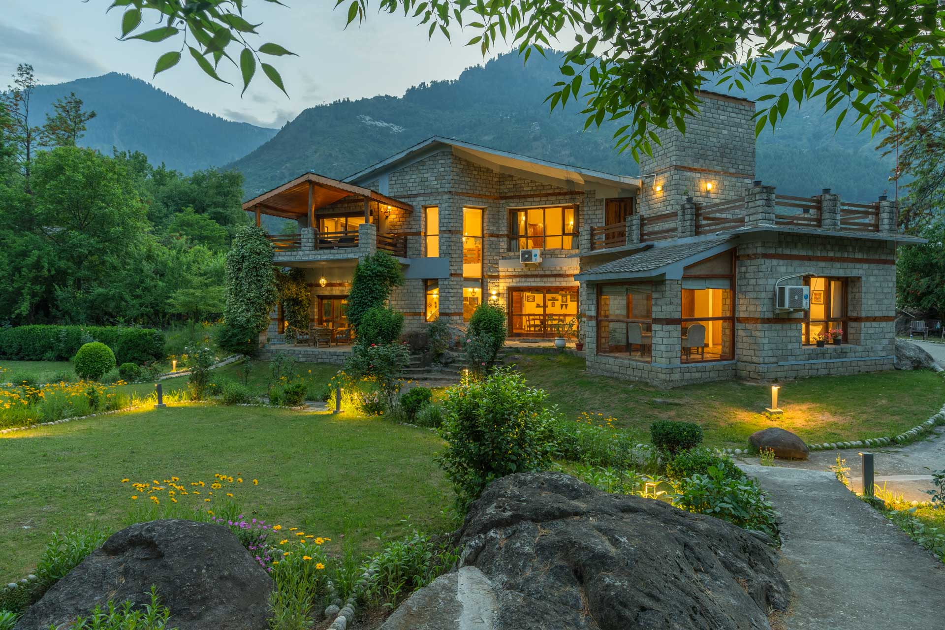
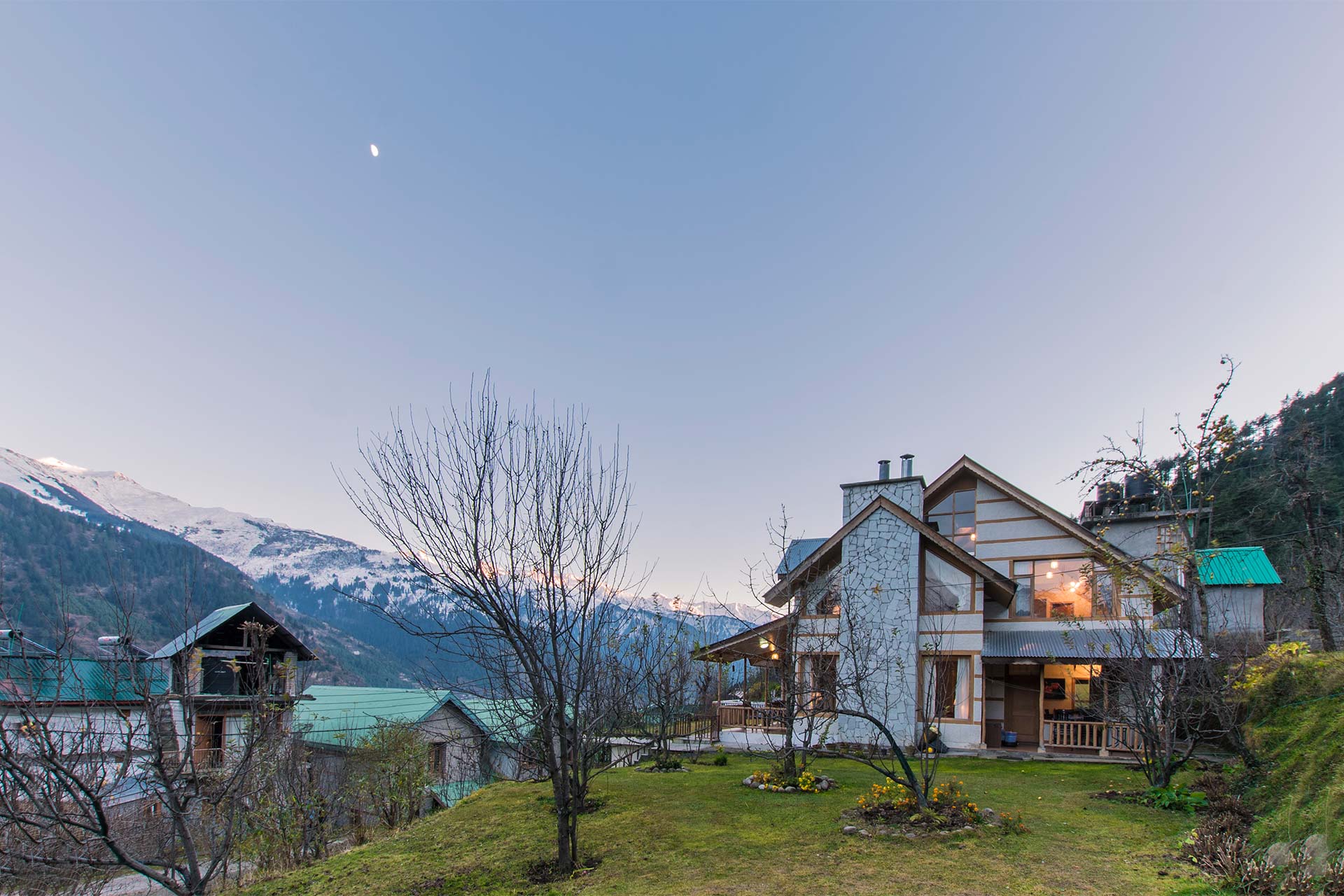
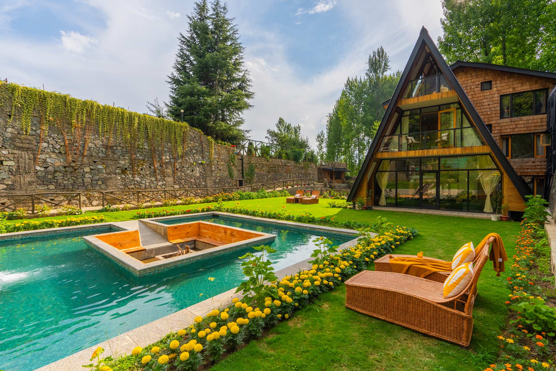
Where To Stay In Manali
Best Stay’s By StayVista

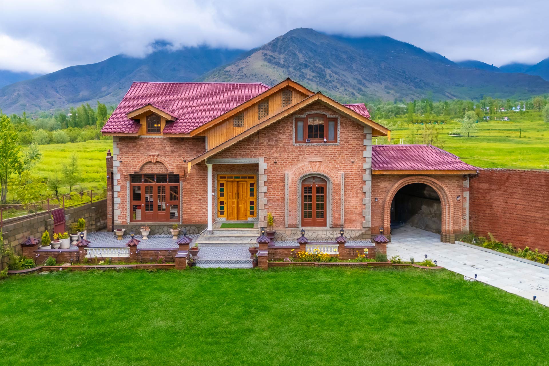
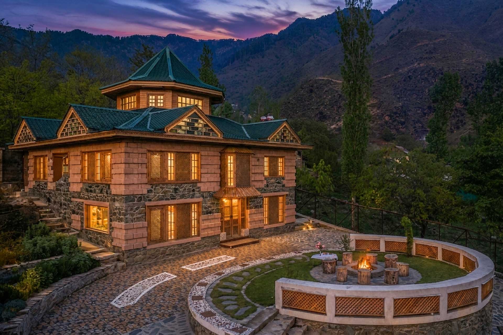
Where To Stay In Srinagar
Best Stay’s By StayVista
What to Pack for Both Routes: July 2026 Checklist
Clothing:
- Thermal base layers (even July nights at 4,000m are cold)
- Fleece mid-layer and windproof outer shell
- Waterproof jacket (monsoon rain in lower Himalayan sections)
- Gloves and a warm hat or balaclava for high passes
- UV-protective sunglasses (wraparound preferred at high altitude)
Vehicle and Road Essentials:
- Physical maps of Manali–Leh or Srinagar–Leh (offline GPS as backup)
- Tow rope and basic tool kit
- Puncture repair kit (tubeless sealant and pump for bikes)
- Jerry can for fuel (Manali route especially)
- Traction mats or sand ladders for soft ground
Documents:
- Vehicle registration certificate (RC)
- Insurance and pollution certificate
- Driving licence
- National ID (Aadhaar or passport)
- ILP printout (if heading to Nubra, Pangong, Tso Moriri)
- Hotel booking confirmations (checkpoints sometimes ask)
Frequently Asked Questions: Manali to Leh vs Srinagar to Leh July 2026
The Srinagar to Leh route is better for first-timers. It crosses only Zoji La at 3,528m, has an easier road surface, and allows a more gradual ascent to Leh. The overnight halt in Kargil at 2,676m is significantly safer for acclimatisation than Sarchu at 4,290m on the Manali route.
Yes. Tanglang La (5,328m) is typically open by mid-June and remains open through October. Sudden snowfall can cause temporary closures — check the BRO Twitter account or local Leh advisories before crossing.
Minimum two days with an overnight halt at Keylong, Jispa, or Sarchu. A three-day drive halting at both Jispa and Sarchu is recommended for safer acclimatisation and a less rushed experience.
No ILP is required to enter Leh city. However, permits are mandatory for Nubra Valley, Pangong Tso, Tso Moriri, and Dah-Hanu. These are obtainable online or in person at the DC office in Leh, usually on the same day.
The Srinagar to Leh highway (NH1) has better overall road surface quality. The Manali–Leh highway is more prone to landslides, river crossings, and rough patches — particularly between Pang and Leh.
Yes. Baralacha La (4,892m) is typically open from June through September. July is within its reliable open window. Check BRO updates for any real-time closures due to snowfall or road damage.
Final Word: Which Route Should You Take in July 2026?
There is no universally right answer between Manali to Leh and Srinagar to Leh — only the right answer for the kind of traveller you are. If you want the raw, unfiltered Himalayan road experience — five passes, water crossings, the silence of the More Plains at 4,500m, and the earned satisfaction of arriving in Leh having crossed Tanglang La — the Manali highway delivers something that stays with you for years. If you want a safer, more scenic, and culturally richer entry into Ladakh, with Kashmir’s green valleys giving way to Buddhist monasteries and moonland terrain, the Srinagar route is not the easier choice but the smarter one. For July 2026 specifically, both routes are open, both are beautiful, and the best version of a Ladakh trip uses both — in on one, out on the other. Plan the stops carefully, respect the altitude, check BRO advisories before every high pass, and book your Stay Vista properties early because peak July sees the region’s best accommodation fill fast. The road to Leh is never just a road — it is the journey that earns you the destination.