12 Best Monsoon Fort Treks Near Mumbai and Pune 2026: Difficulty, Base Village and Timings

The best monsoon fort treks near Mumbai and Pune in 2026 include Lohagad, Rajmachi, Korigad, Tikona, Tung, Rohida, Sinhagad, Torna, Harishchandragad, Visapur, Rajgad, and Kalavantin Durg — ranging from easy 2-hour beginner climbs to challenging full-day ascents. All are accessible between June and September, with July and August offering peak greenery, active waterfalls, and the most rewarding Sahyadri monsoon conditions.
In this Blog
Why Monsoon Is the Best Season for Fort Treks Near Mumbai and Pune
The Sahyadri range undergoes a complete transformation between June and September. Bare ridgelines turn into lush green plateaus. Ancient stone fortifications — many built during the Maratha Empire of the 17th and 18th centuries — emerge dramatically from cloud and mist. Seasonal waterfalls appear on trails that are bone-dry in April. And temperatures rarely exceed 22–24°C even at noon, making the physical effort of climbing far more manageable than in summer.
The best monsoon fort treks near Mumbai and Pune sit at a sweet spot of accessibility and reward. Most have established stone-cut trails, defined base villages with basic food and transport, and historical depth that gives every climb a narrative beyond the physical effort.
Quick Comparison: All 12 Monsoon Fort Treks Near Mumbai and Pune 2026
| Fort | From Mumbai | From Pune | Difficulty | Duration | Height | Base Village |
|---|---|---|---|---|---|---|
| Lohagad | ~110 km | ~52 km | Easy | 2–3 hrs return | 1,033m | Lohagadwadi |
| Rajmachi | ~80 km | ~120 km | Easy–Moderate | 4–5 hrs one way | 820m | Udhewadi |
| Korigad | ~110 km | ~90 km | Easy–Moderate | 3–4 hrs return | 925m | Peth village |
| Tikona | ~80 km | ~35 km | Easy–Moderate | 2.5–3 hrs return | 1,033m | Tikona Peth |
| Tung | ~90 km | ~60 km | Moderate | 3–4 hrs return | 1,075m | Tungwadi |
| Rohida | ~120 km | ~75 km | Easy–Moderate | 3–4 hrs return | 1,148m | Bhairi village |
| Sinhagad | ~50 km | ~12 km | Easy | 1–2 hrs return | 1,312m | Sinhagadwadi |
| Torna | ~100 km | ~60 km | Moderate–Hard | 5–6 hrs return | 1,403m | Velhe village |
| Harishchandragad | ~200 km | ~165 km | Hard | Full day | 1,424m | Khireshwar |
| Visapur | ~110 km | ~52 km | Easy–Moderate | 3–4 hrs return | 1,084m | Visapurwadi |
| Rajgad | ~208 km | ~65 km | Moderate–Hard | Full day | 1,376m | Gunjavane |
| Kalavantin Durg | ~95 km | ~110 km | Hard | 4–5 hrs return | 2,300 ft | Prabal Machi |
The 12 Best Monsoon Fort Treks Near Mumbai and Pune: Complete Guide
1. Lohagad Fort — The Classic Monsoon Trek for Beginners

Lohagad, meaning “Iron Fort,” is the most accessible and most visited of all the best monsoon fort treks near Mumbai and Pune — and with good reason. Located 52 km from Pune and 110 km from Mumbai, the fort sits at 1,033 metres above sea level and commands sweeping views of the Pavana reservoir, adjacent Visapur Fort, and the Indrayani River valley. In monsoon, Lohagad’s stone ramparts disappear into low cloud, the plateau turns vivid green, and the famous Vinchukata bastion — shaped like a scorpion’s tail — hangs over the valley in mist.
Lohagad served as a treasury fort for Chhatrapati Shivaji Maharaj and stored the Surat treasury looted in 1664. The fort changed hands multiple times between the Marathas, Mughals, and British — its four main gates (Ganesh, Narayan, Hanuman, and Maha Darwaja) reflect centuries of layered military architecture.
Trek Details
- Base village: Lohagadwadi
- Trek distance: ~5 km return including stair climb to main gates
- Elevation gain: ~200m from base to summit plateau
- Difficulty: Easy — suitable for beginners, families with older children, first-time Sahyadri trekkers
- Trek duration: 2–3 hours return
- Height: 1,033m above sea level
- Terrain: Stone-cut steps for most of the ascent; exposed sections near upper gates
How to Reach Lohagad
By train from Mumbai: Local train from CST or Dadar to Lonavala (~2 hours). From Lonavala, hire a shared jeep or auto to Lohagadwadi (~20 km, 45 minutes). The 6:30 AM local from Mumbai reaches Lonavala in time for a 9 AM trek start — the ideal monsoon window.
By road from Pune: Mumbai–Pune Expressway to Lonavala, then follow signs to Lohagad (52 km total, ~1.5 hours). Parking at Lohagadwadi.
Monsoon Trek Timings — Lohagad
| Checkpoint | Recommended Time |
|---|---|
| Depart Mumbai / Pune | 5:30–6:30 AM |
| Reach Lohagadwadi base | 8:00–9:00 AM |
| Breakfast at dhaba | 8:00–8:30 AM |
| Begin ascent | 9:00 AM |
| Reach summit | 10:30–11:00 AM |
| Explore Vinchukata and gates | 11:00 AM–12:30 PM |
| Begin descent | 12:30–1:00 PM |
| Reach base | 2:00–2:30 PM |
What to See at Lohagad
- Vinchukata (Scorpion’s Tail): The long narrow bastion extending from the main plateau, dramatic in monsoon mist with green on either side
- Four main gates: Each with distinct carved elements including a Hanuman figure above the Hanuman Darwaja arch
- Ancient cisterns: Several large stone cisterns filled with monsoon rainwater on the plateau
- Visapur Fort views: Visible on the adjacent ridge — many trekkers combine both forts in a single long day
2. Rajmachi Fort — Fireflies, Forest Trail, and a Valley Campsite

Rajmachi is among the most beloved of the best monsoon fort treks near Mumbai — uniquely famous for both the fort and its June firefly season. Located ~80 km from Mumbai and ~120 km from Pune, the plateau sits at 820 metres and holds two distinct forts: Shrivardhan and Manaranjan. The approach from Lonavala through dense deciduous forest is one of the finest Sahyadri jungle walks within day-trip distance of Mumbai — cooler, more sheltered, and more ecologically rich than the open hillside treks.
The base village of Udhewadi, a small farming settlement on the plateau, offers basic homestay accommodation for overnight trekkers — making Rajmachi one of the rare fort treks where staying the night is not only possible but genuinely recommended.
Trek Details
- Base village: Udhewadi (on plateau) | Kondiwade (shorter alternative approach)
- Trek distance: 16 km one way from Lonavala | ~8 km return from Kondiwade
- Elevation gain: ~300m from Lonavala approach
- Difficulty: Easy to Moderate — forested and mostly gradual; rocky near fort walls
- Trek duration: 4–5 hours one way from Lonavala | 2–3 hours from Kondiwade
- Height: 820m above sea level
- Terrain: Dense forest trail, rocky sections near summit, well-defined path throughout
How to Reach Rajmachi
By train from Mumbai: 6:30 AM local to Lonavala. Trek begins from near Lonavala Lake end or take a jeep to the trailhead.
By road (Kondiwade approach): Drive to Kondiwade village near Khandala (~80 km from Mumbai, ~85 km from Pune). This shorter approach reduces the one-way walk to ~4 km — ideal for day-trippers.
Overnight option: Udhewadi homestays run by local families. Overnight stay enables dawn and dusk on the plateau — the finest times for views, atmosphere, and firefly watching.
Rajmachi Firefly Season 2026
The forest between Lonavala and Udhewadi is one of the premier firefly watching zones near Mumbai. Fireflies peak approximately two to three weeks after the first monsoon rain — typically mid-June to early July 2026. The display is most active between 7 PM and 10 PM on clear nights in the forested sections of the approach trail.
Organised firefly treks: Mumbai Trekkers, Adventure Club Pune, and Trekhievers run overnight Rajmachi firefly treks in June. Book 2–3 weeks in advance — these fill rapidly.
What to See at Rajmachi
- Shrivardhan Fort: Larger of the two forts with well-preserved bastions and panoramic valley views
- Manaranjan Fort: Quieter and less visited, with better views toward the Ulhas Valley
- Udhewadi village: A living farming settlement inside the fort — rare anywhere in Maharashtra
- Valley views: On clear monsoon mornings, the Kondana Valley spreads below with waterfalls visible on surrounding hillsides
3. Korigad Fort — The Hidden Monsoon Gem of the Panchan Valley

Korigad (also Koraigad) sits at 925 metres overlooking the Panchan Valley — approximately 90 km from Pune and 110 km from Mumbai. It is consistently the least crowded fort in the Lonavala belt, making it the best choice on weekends when Lohagad and Rajmachi draw large crowds. Built in the early 18th century, the fort features well-preserved fortification walls, two main gates, a Shiva temple, and a large plateau lake that fills completely in monsoon. The approach from Peth village covers a mix of open hillside and forested sections over approximately 4 km.
Trek Details
- Base village: Peth village (Ambavane)
- Trek distance: ~8 km return
- Elevation gain: ~300m from Peth village to summit
- Difficulty: Easy to Moderate — defined trail, steep in the upper half
- Trek duration: 3–4 hours return
- Height: 925m above sea level
- Terrain: Mixed forest and open hillside, rocky near the gates
How to Reach Korigad
By road from Pune: Mumbai–Pune Expressway to Khopoli exit, then State Highway 60 toward Peth/Ambavane village (~90 km, 2 hours). Parking at Peth village.
By road from Mumbai: Expressway to Khopoli exit (~80 km, 1.5 hours), then same route. Private vehicle or hired cab from Lonavala is the most practical option — state transport is limited.
Monsoon Trek Timings — Korigad
| Checkpoint | Recommended Time |
|---|---|
| Depart Mumbai / Pune | 6:00 AM |
| Reach Peth village | 8:00–8:30 AM |
| Begin ascent | 8:30 AM |
| Reach summit | 10:30–11:00 AM |
| Explore fort and lake | 11:00 AM–12:30 PM |
| Begin descent | 12:30 PM |
| Reach base, depart | 2:00–2:30 PM |
What to See at Korigad
- Panchan Valley views: The plateau’s western edge offers sweeping valley views — extraordinary when cloud fills the valley in July
- Ancient plateau lake: Fills to the brim in July–August; reflects surrounding ramparts and sky — one of the finest monsoon photography compositions in the Sahyadris
- Two main gates: Well-preserved with original ironwork; upper gate frames the valley below
- Shiva temple: Small active shrine surrounded by monsoon wildflowers in July–August
- Fortification walls: Large sections of the perimeter parapet remain intact — walkable for much of the summit perimeter
4. Tikona Fort — The Triangle Fort With the Best Beginner Monsoon Trek Near Pune

Tikona (“triangular” in Marathi) is named for its distinctive pyramidal hill shape — visible from across the Pavana Dam backwaters. Located 35 km from Pune and 80 km from Mumbai, it is one of the most beginner-friendly of the best monsoon fort treks near Mumbai and Pune. The fort sits at 1,033 metres and rises sharply from the Pavana reservoir — creating one of the most dramatic approach silhouettes of any Sahyadri fort. The trail from Tikona Peth combines forested path and stone steps with a hands-on scramble section in the upper third.
Trek Details
- Base village: Tikona Peth
- Trek distance: ~5 km return
- Elevation gain: ~500m (steep for its length)
- Difficulty: Easy to Moderate — gradual lower section; steep with scrambling near the top
- Trek duration: 2.5–3 hours return
- Height: 1,033m above sea level
- Terrain: Forested lower section; open exposed upper section with stone steps and rock scrambling
How to Reach Tikona
By road from Pune: NH 48 toward Mumbai, exit at Kamshet, follow signs to Tikona Peth (~35 km from Pune, 1 hour). Parking at base village.
By road from Mumbai: Expressway to Kamshet (~80 km, 1.5 hours), then Tikona Peth.
By train: Mumbai–Pune train to Kamshet station. Auto or shared transport to Tikona Peth (~8 km).
Monsoon Trek Timings — Tikona
| Checkpoint | Recommended Time |
|---|---|
| Depart Pune / Mumbai | 6:00–6:30 AM |
| Reach Tikona Peth base | 7:30–8:00 AM |
| Begin ascent | 8:00 AM |
| Reach summit | 10:00–10:30 AM |
| Explore fort and Pavana views | 10:30 AM–12:00 PM |
| Begin descent | 12:00 PM |
| Reach base | 1:00–1:30 PM |
What to See at Tikona
- Pavana reservoir views: The defining Tikona experience — the dam backwaters, Tung Fort across the ridge, and Lohagad visible further west on clear mornings
- Trimbakeshwar temple: Small active shrine at the summit, deeply atmospheric in monsoon mist
- Upper scramble section: Final 200m of hands-on rock — slippery in rain, go slowly with both hands free
- Ancient cisterns: Filled to capacity in July–August — among the most photogenic on any Lonavala-belt fort
5. Tung Fort — The Overlooked Monsoon Trek Above Pavana Lake
Tung Fort sits directly across the Pavana reservoir from Tikona at 1,075 metres — approximately 60 km from Pune and 90 km from Mumbai. Also called Kathingad (“difficult fort”), it is slightly more challenging than Tikona and significantly less visited, making it one of the most rewarding quiet-trail options among the best monsoon fort treks near Pune. The approach from Tungwadi village involves a forested climb with a steep and exposed rock section near the summit.
Trek Details
- Base village: Tungwadi
- Trek distance: ~6 km return
- Elevation gain: ~450m from Tungwadi to summit
- Difficulty: Moderate — steeper and more technical than Tikona; exposed rock near the top
- Trek duration: 3–4 hours return
- Height: 1,075m above sea level
- Terrain: Forest trail transitioning to open ridgeline; rock scrambling at summit approach
How to Reach Tung
By road from Pune: NH 48 to Kamshet, follow signs to Pawna Nagar and Tungwadi (~60 km from Pune, 1.5 hours). Final 3 km road is narrow — suitable for cars with careful driving.
By road from Mumbai: Expressway to Kamshet (~90 km, 1.5–2 hours), then as above.
By train: Kamshet station nearest railhead (~12 km from Tungwadi by auto or shared vehicle).
Monsoon Trek Timings — Tung
| Checkpoint | Recommended Time |
|---|---|
| Depart Pune / Mumbai | 6:00 AM |
| Reach Tungwadi base | 7:30–8:00 AM |
| Begin ascent | 8:00 AM |
| Reach summit | 10:30–11:00 AM |
| Explore views and ruins | 11:00 AM–12:30 PM |
| Begin descent | 12:30 PM |
| Reach base | 2:00 PM |
What to See at Tung
- Tikona and Pavana views: The defining Tung experience — Tikona’s pyramidal profile rising from the reservoir directly opposite, framed by monsoon cloud
- Fortification remnants: Partially preserved walls and bastions giving context to the original Maratha defensive structure
- Rock scramble crux: Steep face with natural handholds near the summit — the defining technical challenge of this trek; test each hold carefully in wet conditions
- Ancient cisterns: Two large cisterns on the plateau, functional in monsoon
6. Rohida Fort (Vichitragad) — The Finest Konkan Views of Any Fort Near Pune

Rohida Fort, officially Vichitragad, sits at 1,148 metres in Pune district’s Bhor region — approximately 75 km from Pune and 120 km from Mumbai. The highest of the first six featured forts, Rohida overlooks the Nira River valley and the Konkan ghats. On clear monsoon mornings, the summit view extends deep into the Konkan plains — a vast green expanse rolling toward the distant coast. Less visited than the Lonavala-belt forts, Rohida offers a solitude and scenic quality that justifies the longer drive.
Trek Details
- Base village: Bhairi village (near Bhor)
- Trek distance: ~6–7 km return
- Elevation gain: ~400m from Bhairi village to summit
- Difficulty: Easy to Moderate — gradual farmland and forest approach, steeper near main gate
- Trek duration: 3–4 hours return
- Height: 1,148m above sea level
- Terrain: Farmland path, forested middle section, stone steps to main gate
How to Reach Rohida
By road from Pune: NH 48 toward Satara, Bhor exit, follow signs to Bhairi village (~75 km, 1.5–2 hours). Road is well-surfaced until the final village approach.
By state transport from Pune: MSRTC buses from Swargate to Bhor town (~2 hours), then shared auto or local transport to Bhairi village (~12 km).
From Mumbai: ~120 km via Expressway and Bhor road, approximately 2.5–3 hours.
Monsoon Trek Timings — Rohida
| Checkpoint | Recommended Time |
|---|---|
| Depart Pune / Mumbai | 5:30–6:00 AM |
| Reach Bhairi village | 7:30–8:00 AM |
| Begin ascent | 8:00 AM |
| Reach summit | 10:00–10:30 AM |
| Explore fort and Konkan views | 10:30 AM–12:30 PM |
| Begin descent | 12:30 PM |
| Reach base | 2:00 PM |
What to See at Rohida
- Konkan valley panorama: The summit’s western edge offers the defining Rohida experience — Nira Valley below and the Konkan plains stretching westward in monsoon green
- Maratha-era main gate: Among the better-preserved examples of Maratha military architecture in Pune district — carved figure above the arch, intact side walls
- Wildflower plateau: The fort plateau in August is thick with monsoon wildflowers — one of the best botanical monsoon fort experiences in the region
- Nira River views: Visible far below on the approach trail — swollen and fast-moving in monsoon
7. Sinhagad Fort — The Closest Monsoon Trek to Pune

Sinhagad (“Lion Fort”) is the most accessible monsoon fort trek from Pune city — located just 12 km from the city limits and 50 km from Mumbai. Sitting at 1,312 metres, it is the highest of the twelve featured forts after Harishchandragad and Torna, and one of the most historically significant — the site of the famous 1670 Battle of Sinhagad in which Tanaji Malusare recaptured the fort from the Mughals at the cost of his life. In monsoon, Sinhagad’s wide plateau is blanketed in green, waterfalls cascade from the ramparts, and the view of Pune city below through monsoon haze is extraordinary.
Trek Details
- Base village: Sinhagadwadi
- Trek distance: ~4 km return (road option also available by jeep to midpoint)
- Elevation gain: ~300m from base to plateau
- Difficulty: Easy — well-maintained trail with steps; jeep road available for those who prefer it
- Trek duration: 1.5–2 hours return on foot
- Height: 1,312m above sea level
- Terrain: Paved and stone-cut path, short exposed section near main gate
What to See at Sinhagad
- Tanaji Malusare memorial: The primary historical monument on the fort — a statue and commemorative space at the site of the 1670 battle
- Pune valley views: The plateau’s eastern edge offers one of the clearest views of Pune city — spectacular through monsoon haze at dusk
- Monsoon waterfalls: Several small but photogenic waterfalls cascade from the fort walls and surrounding ridgeline in July–August
- Purandar Fort views: Visible on a clear day to the southeast — completing the visual map of Pune district’s fort landscape
8. Torna Fort — The Highest and Most Challenging Day Trek Near Pune

Torna (also Prachandagad) is the highest fort in Pune district at 1,403 metres and is widely considered the most challenging full-day fort trek in the Mumbai–Pune region. Located ~60 km from Pune and ~100 km from Mumbai, Torna was the first fort captured by Chhatrapati Shivaji Maharaj in 1646 at the age of 16 — making it the symbolic birthplace of the Maratha Empire. The monsoon trek from Velhe village is a demanding 5–6 hour return involving steep rocky terrain, forest sections, and an exposed final ascent to the summit.
Trek Details
- Base village: Velhe village
- Trek distance: ~10 km return
- Elevation gain: ~600m from Velhe to summit
- Difficulty: Moderate to Hard — steep, rocky, and physically demanding; not suitable for beginners
- Trek duration: 5–6 hours return
- Height: 1,403m above sea level
- Terrain: Forest approach, steep rocky ascent, exposed summit ridge
What to See at Torna
- Budhla Machi and Zunjar Machi: Two distinct plateaus of the fort with separate defensive structures and complementary views
- Mengai Devi temple: The primary shrine on the fort — small, ancient, and actively worshipped by Velhe villagers
- Rohida Fort views: Visible on the adjacent ridgeline on clear mornings — the two forts are a popular combined trek for experienced trekkers
- Waterfall on approach trail: A seasonal waterfall on the Velhe approach trail is active in July–August and is one of the finest stops on the ascent
9. Harishchandragad — The Ultimate Monsoon Challenge Near Mumbai and Pune

Harishchandragad is the most demanding of the best monsoon fort treks near Mumbai and Pune — a full-day trek reaching 1,424 metres, deep in the Ahmednagar district approximately 165 km from Mumbai and 165 km from Pune. Famous for the Konkan Kada cliff — a concave vertical rock face dropping nearly 1,000 metres into the Konkan plains — Harishchandragad in monsoon is at once the most spectacular and the most technically demanding fort trek in Maharashtra’s accessible range. The trek from Khireshwar village takes 4–6 hours one way and is classified as moderately difficult to hard.
Trek Details
- Base village: Khireshwar (most accessible) | Pachnai | Belpada
- Trek distance: ~16 km return from Khireshwar
- Elevation gain: ~700m from base to summit
- Difficulty: Moderate to Hard — long, physical, with some technical sections near Konkan Kada
- Trek duration: Full day (8–10 hours return)
- Height: 1,424m above sea level
- Terrain: Forest, rocky plateaus, exposed cliff edges
What to See at Harishchandragad
- Konkan Kada: The concave cliff face — one of the most extraordinary geological features in the Western Ghats; the view over the Konkan plains in monsoon cloud is unlike anything else accessible from Mumbai or Pune
- Harishchandreshwar temple cave: An ancient rock-cut temple at the summit plateau — one of the finest examples of early medieval Sahyadri temple architecture
- Taramati Peak: The highest point of the fort complex at 1,424m — a short scramble from the main plateau
- Saptatirtha Pushkarni: An ancient sacred lake near the temple, filled to the brim in monsoon
10. Visapur Fort — The Lohagad Twin and Best Combined Trek Near Lonavala

Visapur Fort sits adjacent to Lohagad on the next ridgeline at 1,084 metres — approximately 52 km from Pune and 110 km from Mumbai. Often visited as a standalone or combined with Lohagad in a single long day, Visapur is larger, less crowded, and has better-preserved fortification structures than its more famous neighbour. The monsoon approach through forest from Visapurwadi offers dense greenery and the sound of waterfalls before the plateau opens up to views of Lohagad and the Pavana reservoir.
Trek Details
- Base village: Visapurwadi
- Trek distance: ~6 km return
- Elevation gain: ~350m from base to summit
- Difficulty: Easy to Moderate
- Trek duration: 3–4 hours return
- Height: 1,084m above sea level
- Terrain: Forest approach, rocky sections near summit walls
What to See at Visapur
- Lohagad views from above: One of the most distinctive perspectives on Lohagad — the Vinchukata bastion visible below as you look across from Visapur’s plateau
- Larger fort plateau: Visapur’s plateau is significantly larger than Lohagad’s — more space, better preserved cisterns, longer wall walks
- Colonial-era cannon: A British-era cannon on the plateau — a reminder of the fort’s military history through the colonial period
- Waterfall on approach trail: A seasonal waterfall near the Visapurwadi approach is active in July–August
11. Rajgad Fort — The Royal Capital of the Maratha Empire

Rajgad (“King’s Fort”) served as the capital of Chhatrapati Shivaji Maharaj’s kingdom for approximately 26 years — longer than any other Maratha fort. Located ~65 km from Pune and ~208 km from Mumbai, it sits at 1,376 metres and covers one of the largest fort areas in Maharashtra across three machi (plateaus): Padmavati Machi, Suvela Machi, and Sanjevani Machi, plus the highest Balekilla citadel. The monsoon trek from Gunjavane village is a full-day undertaking for most trekkers — rewarding, historically rich, and visually extraordinary.
Trek Details
- Base village: Gunjavane (Pali route) | Bhatghar (alternative)
- Trek distance: ~10–12 km return via Gunjavane
- Elevation gain: ~600m from Gunjavane to Balekilla
- Difficulty: Moderate to Hard — long ascent with steep sections near Balekilla
- Trek duration: Full day (7–9 hours return)
- Height: 1,376m above sea level
- Terrain: Forested lower section, open ridgeline, steep rock steps to Balekilla
How to Reach Rajgad
By road from Pune: Drive toward Nasrapur and Velhe via NH 48 and then local roads (~65 km, 2 hours). Gunjavane is the most used trailhead.
State transport: MSRTC buses run from Swargate, Pune to Nasrapur. From Nasrapur, local transport or auto to Gunjavane.
What to See at Rajgad
- Padmavati Machi: The largest and most inhabited of the three plateaus — with the Padmavati Devi temple, ancient water tanks, and the remains of royal residences
- Balekilla citadel: The highest point of the fort with 360-degree views — Torna Fort visible to the east, the Sahyadri ranges in every other direction
- Chor Darwaja (Thieves’ Gate): A hidden gate on the Suvela Machi — used for covert movement in and out of the fort during the Maratha period
- Monsoon waterfalls on approach: The Gunjavane trail in July has active waterfalls on both sides for the lower 3 km — among the finest approach scenery of any Pune-region trek
12. Kalavantin Durg — The Most Dramatic Monsoon Trek Near Mumbai

Kalavantin Durg is not technically a fort with interior structures — it is a sheer rock pinnacle at approximately 2,300 feet near Panvel, 95 km from Mumbai and 110 km from Pune. What makes it one of the most dramatic of the best monsoon fort treks near Mumbai is the ascent: a series of ancient stone steps carved directly into the vertical rock face, with near-vertical exposure on both sides in the upper section. The trek is classified as hard and is not suitable for those with a fear of heights or in poor physical condition. In monsoon, the steps are wet, the surrounding valleys are cloud-filled, and the views from the top — when clouds briefly part — are among the finest in the Sahyadris.
Trek Details
- Base village: Prabal Machi
- Trek distance: ~6 km return (from Panvel via Prabal Machi)
- Elevation gain: ~400m with near-vertical exposed sections
- Difficulty: Hard — exposed, steep, vertigo-inducing; not for beginners
- Trek duration: 4–5 hours return
- Height: ~2,300 feet (701m)
- Terrain: Forested approach, near-vertical rock steps with no railing in upper sections
What to See at Kalavantin Durg
- Vertical step ascent: The defining visual and physical challenge — ancient rock-cut steps on a sheer pinnacle face
- Prabalgad Fort views: The adjacent Prabalgad is visible across the saddle — many experienced trekkers combine both in one day
- Valley and coast views: On clear monsoon mornings, the Panvel creek and the distant Konkan coast are visible from the summit
- Cloud immersion: In peak monsoon, the summit sits inside cloud for much of the morning — creating a genuinely ethereal experience
Monsoon Trekking Safety: Complete Guide for All 12 Fort Treks
Essential Gear for Monsoon Fort Treks Near Mumbai and Pune
Footwear (most critical):
Trekking shoes with aggressive rubber grip soles are non-negotiable on every one of these twelve trails in monsoon. Avoid canvas shoes, flat sneakers, and sandals entirely. Waterproof uppers help comfort but grip is the primary requirement.
Clothing:
- Lightweight quick-dry synthetic fabrics — avoid cotton, which stays wet and heavy
- Long trousers (leech protection in forested zones)
- Thin packable waterproof rain jacket
- Spare dry clothes sealed in a waterproof bag insert
Hydration and nutrition:
- 2–3 litres of water per person minimum (no reliable source on most fort summits)
- Trail mix, dry fruits, energy bars, bananas
- No alcohol before or during any monsoon trek
Navigation and safety:
- Offline trail maps or GPX files downloaded before departure
- Fully charged power bank
- Basic first aid kit: antiseptic, bandages, blister plasters
- Emergency contacts: local trekking group, base village contact number
Leech Protection on Monsoon Trails
Leeches are active on all Sahyadri forest trails from July through September. They attach painlessly but require management.
- Apply salt solution or commercial leech repellent to shoes, socks, and lower trouser hem before forested sections
- Tuck trouser legs into socks
- Check regularly at rest stops — ankles, back of knees, and lower back are common attachment points
- Remove with salt, tobacco ash, or a flame near the attachment point — do not pull directly
- Post-removal bleeding is normal due to the leech’s anticoagulant — clean and bandage
Where to Stay
Lonavala and Khandala — Base for Lohagad, Rajmachi, Tikona, Tung, Korigad, and Visapur
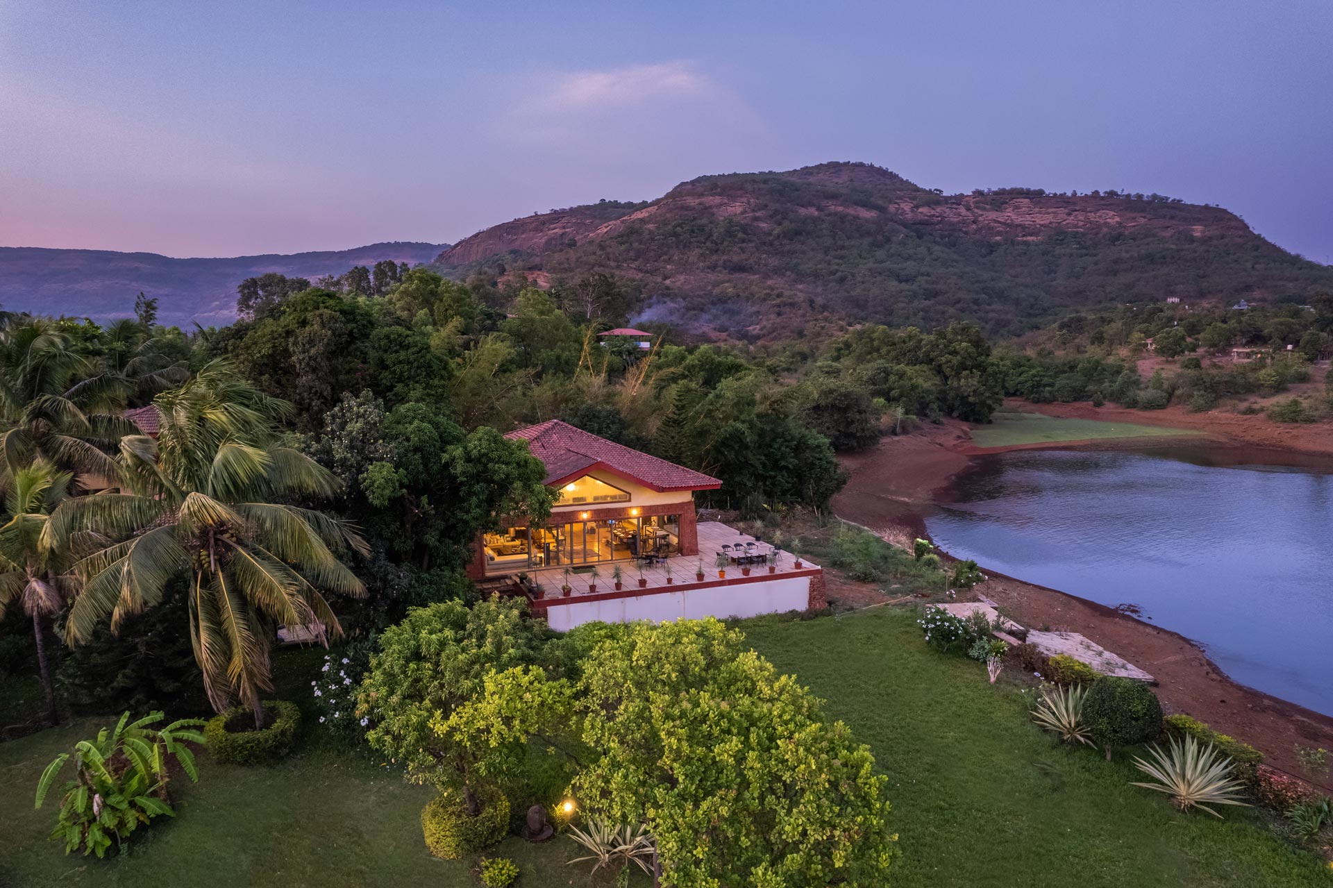
Lonavala is the single most practical base for the best monsoon fort treks near Mumbai and Pune — sitting within 20–40 km of six of the twelve featured forts. Stay Vista’s Lonavala inventory is among its strongest in Maharashtra, and in peak monsoon the properties are at their most atmospheric: mist-covered valley views, private gardens turning vivid green, the sound of rain on tile roofs through the night before an early morning fort departure.

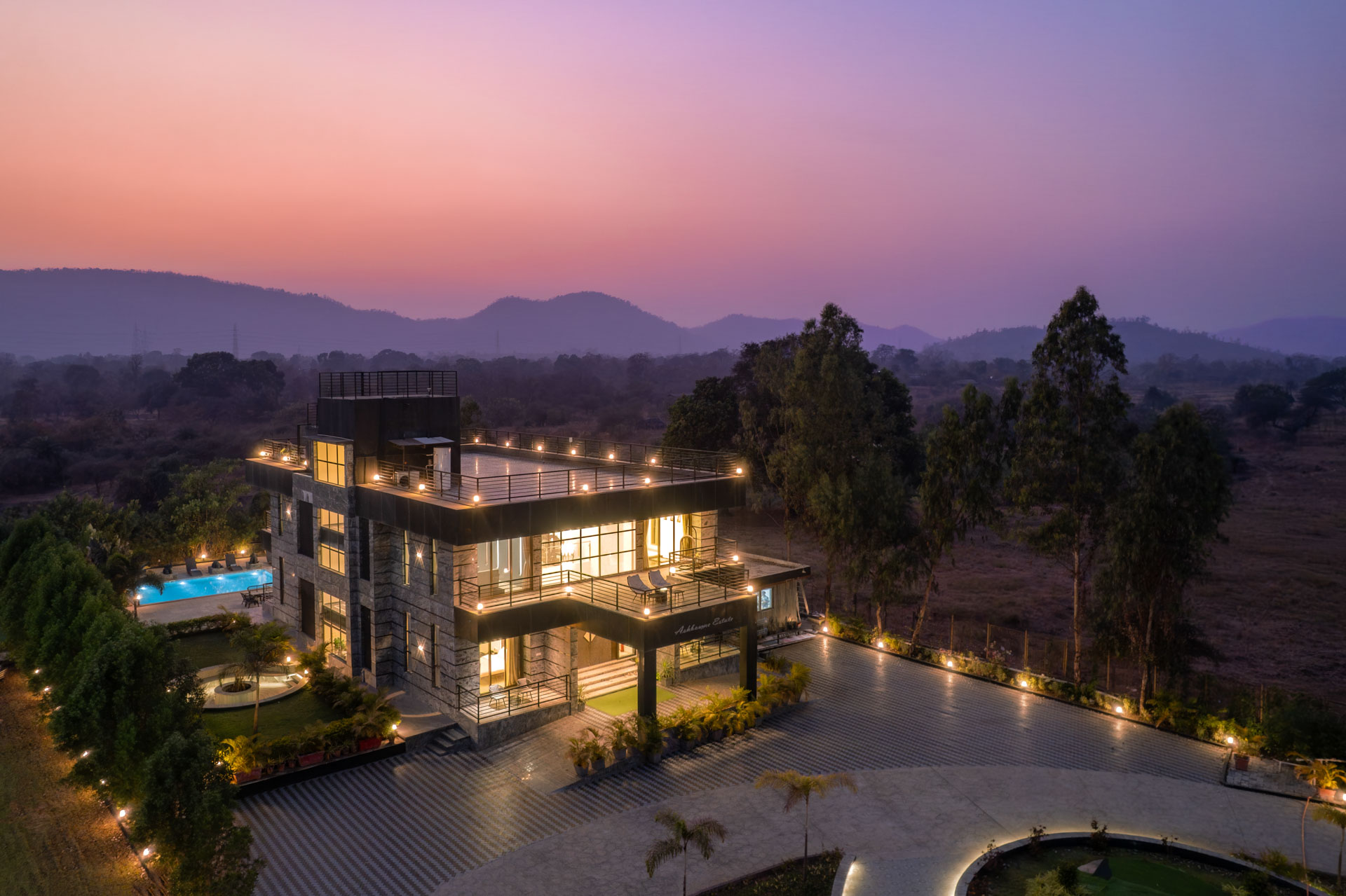
Kamshet — Pavana Lakeside Base for Tikona and Tung
Kamshet’s Stay Vista properties near the Pavana Dam reservoir offer something Lonavala cannot: direct views of the reservoir with Tikona’s pyramidal silhouette and Tung’s ridgeline visible across the water. Waking to the sight of both forts across a monsoon-full Pavana reservoir — then driving to the base village and climbing one of them — is one of Maharashtra’s finest sequential experiences.
Pune City — Urban Base for Sinhagad, Torna, Rajgad, and Rohida
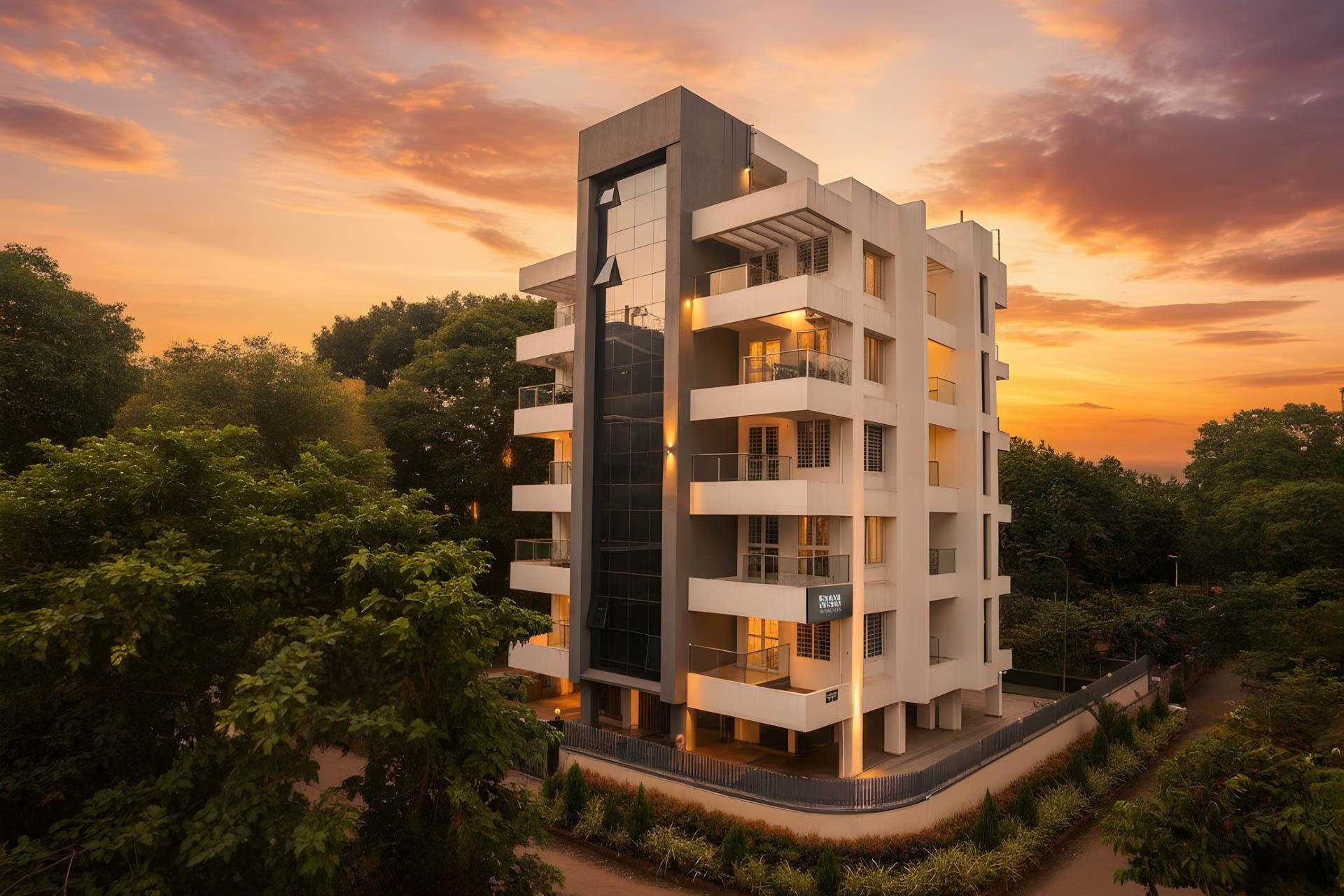
For trekkers doing multiple southern Pune district forts across a long weekend — Sinhagad on Day 1, Rohida on Day 2, Torna on Day 3 — a Pune city Stay Vista property is the most logical base. Properties on Stay Vista in Pune range from modern apartments near Baner and Hinjewadi (convenient for western highway access) to heritage bungalows in Koregaon Park and Kalyani Nagar.
Panvel and Navi Mumbai — Base for Kalavantin Durg and Prabal Region
For trekkers targeting Kalavantin Durg, the nearest practical Stay Vista base is in the Panvel and Navi Mumbai region — significantly closer than Mumbai city for an early morning departure to Prabal Machi. Properties in this zone also offer easy access to the Palm Beach Road corridor, Nerul Lake, and Kharghar’s Central Park for rest days between challenging treks.
Igatpuri and Nashik Region — Base for Harishchandragad
For trekkers heading to Harishchandragad from Mumbai, the Igatpuri or Nashik corridor on NH3 offers a logical overnight base before the Khireshwar approach. Stay Vista properties in the Igatpuri region sit in the northern Sahyadri foothills — a cooler, less visited Sahyadri zone — with properties ranging from hill-view cottages to small farm stays in the Kasara and Ghoti area.
FAQs: Best Monsoon Fort Treks Near Mumbai and Pune 2026
Lohagad is the easiest monsoon fort trek near Mumbai for beginners. The trail from Lohagadwadi is approximately 5 km return with well-defined stone steps and a 2–3 hour return duration. Tikona and Korigad are the next easiest options for those wanting a slightly more varied terrain.
Rohida Fort offers the finest Konkan plains panorama. Torna’s Balekilla citadel provides the widest 360-degree Sahyadri view. Tikona’s summit view of the Pavana reservoir with Tung Fort opposite is the most dramatic single composition of any featured trek.
Yes. Rajmachi Fort is accessible year-round. The forest trail from Lonavala and the shorter Kondiwade approach are both open in monsoon. June is additionally the firefly season — one of the finest wildlife spectacles near Mumbai accessible without a long journey.
Begin the ascent from the base village between 8:00 and 9:00 AM, completing the descent by 2:00–2:30 PM before afternoon rain intensifies. Departing from Mumbai or Pune by 5:30–6:30 AM ensures arrival within this window.
Lohagad is the most practical one-day train trip from Mumbai. Take the 6:30 AM local from CST to Lonavala, hire a jeep to Lohagadwadi, complete the trek, and catch an evening train back. No private vehicle required.
Kalavantin Durg is classified as hard and carries genuine risk in monsoon due to wet, unrailed stone steps on a near-vertical rock face. It should only be attempted by experienced trekkers in a group, never in orange or red alert conditions, and ideally with an organised trekking company.
Yes — the Lohagad–Visapur combined trek is approximately 12–14 km return. It requires a 7:30 AM start from Lohagadwadi, moderate fitness, and a full 8–9 hour day. Not recommended for beginners or during heavy rain conditions.
Tung Fort and Rohida Fort are the least visited of the twelve featured treks — significantly quieter than Lohagad, Sinhagad, or Rajmachi even on peak July weekends. Both offer equivalent Sahyadri monsoon quality with a fraction of the crowd.
Conclusion
The best monsoon fort treks near Mumbai and Pune are not simply outdoor activities — they are encounters with a landscape and history that the rest of the year cannot replicate. The Sahyadris in July and August are at their most alive: green, mist-laden, loud with waterfalls, and quiet of the summer crowd that fills these same trails in March and April. Whether it is the beginner-friendly stone steps of Lohagad, the firefly forest of Rajmachi, the vertical drama of Kalavantin Durg, or the historical weight of standing on Rajgad’s Balekilla where Shivaji Maharaj once stood — each of the twelve fort treks here offers a genuine and distinct experience. Start early, pack the right shoes, respect the IMD alerts, book your Stay Vista property in Lonavala or Pune well before the July rush, and give the mountains the unhurried morning they deserve. Three centuries of monsoon rain have not touched these walls — a little preparation and respect is all they ask of you.