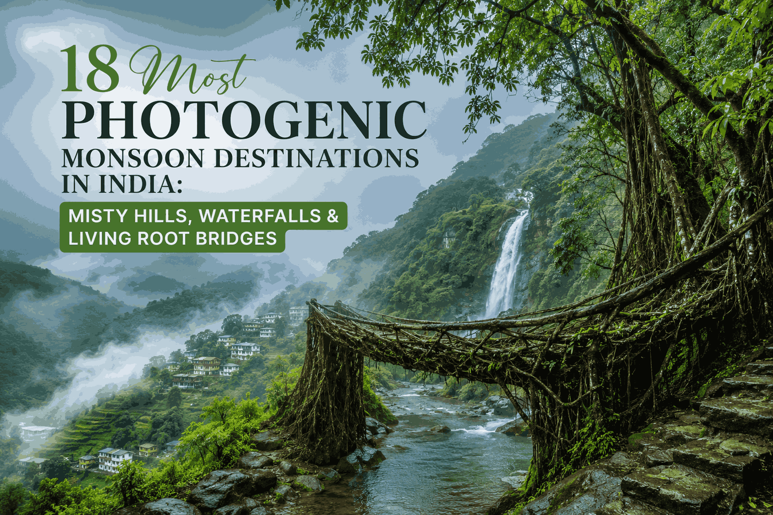
18 Most Photogenic Monsoon Destinations in India: Misty Hills, Waterfalls & Living Root Bridges
The most photogenic monsoon destinations in India are Cherrapunji and Mawlynnong in Meghalaya, Munnar and Wayanad in Kerala, Coorg and Agumbe in Karnataka, and the Valley of Flowers in Uttarakhand. These locations combine heavy seasonal rainfall, full-flow waterfalls, dense fog, and lush valleys between June and September, making them the strongest landscape and nature photography spots in the country during this window.
Monsoon changes how a landscape reads through a lens. Waterfalls that are a trickle in March become full curtains of water by July. Tea gardens and forests turn a saturated green that doesn’t exist in dry months. Fog rolls through valleys at a pace that’s hard to plan around but easy to recognise once you’re there. This guide groups 18 of India’s most reliably photogenic monsoon destinations by region, explains what each one offers a camera, and ends with a stay guide for travellers who want a private base rather than a standard hotel.
In this Blog
Quick Comparison: 18 Photogenic Monsoon Destinations in India
| Destination | Region | Signature Feature | Best Months | Nearest Base City |
| Cherrapunji (Sohra) | Meghalaya | Living root bridges, waterfalls | June–September | Shillong, Guwahati |
| Mawlynnong | Meghalaya | Single-decker root bridge, village views | June–September | Shillong |
| Shillong | Meghalaya | Waterfalls, mist-covered hills | June–September | Guwahati |
| Dawki | Meghalaya | Riverside hills, green valleys | June–September | Shillong |
| Munnar | Kerala | Tea garden mist | June–August | Kochi |
| Wayanad | Kerala | Forest waterfalls | June–September | Kozhikode, Kochi |
| Athirappilly | Kerala | Wide waterfall | June–September | Kochi, Thrissur |
| Coorg | Karnataka | Coffee estate mist, waterfalls | June–September | Bengaluru, Mysuru |
| Chikmagalur | Karnataka | Misty peaks | June–September | Bengaluru |
| Agumbe | Karnataka | Rainforest, heaviest rainfall belt | June–September | Mangaluru, Udupi |
| Jog Falls | Karnataka | Tall multi-tiered waterfall | June–September | Shimoga |
| Lonavala | Maharashtra | Roadside waterfalls | June–September | Mumbai, Pune |
| Mahabaleshwar | Maharashtra | Cloud-covered viewpoints | June–September | Pune, Mumbai |
| Matheran | Maharashtra | Car-free misty hill station | June–September | Mumbai |
| Mussoorie | Uttarakhand | Himalayan cloud cover | July–September | Dehradun |
| Nainital | Uttarakhand | Mist over the lake | July–September | Dehradun |
| Darjeeling | West Bengal | Tea garden fog | June–September | Bagdogra, Siliguri |
| Valley of Flowers | Uttarakhand | Alpine bloom (monsoon-only) | July–early September | Govindghat, Joshimath |
What Makes a Destination “Photogenic” in Monsoon?
A monsoon location reads well in photographs when four conditions overlap at once: enough rainfall to fill waterfalls and rivers without making the area inaccessible, vegetation dense enough to turn visibly greener under cloud cover, elevation or valley structure that traps fog rather than letting it blow through, and diffused light from cloud cover that’s actually easier to shoot in than harsh midday sun.
- Waterfall volume — destinations near the Western Ghats or the Khasi Hills see the most dramatic before-and-after change between dry and wet seasons
- Fog behaviour — valley and lake towns (Nainital, Munnar, Darjeeling) hold fog longer than open plains
- Foliage saturation — tea estates, coffee plantations, and rainforest belts show the most visible colour shift
- Light quality — overcast skies reduce harsh shadows, which generally helps landscape and portrait shots
- Access — some of the most photogenic spots (Valley of Flowers, parts of Cherrapunji) are only reachable on foot, which affects how much gear is practical to carry
18 Most Photogenic Monsoon Destinations in India
Northeast India
1. Cherrapunji (Sohra), Meghalaya

Sohra (Cherrapunji’s official name) sits at roughly 1,484 metres in the Khasi Hills and has historically recorded some of the highest annual rainfall totals of any inhabited place on Earth, often exceeding 11,000 mm a year. That volume is what turns the area’s gorges and waterfalls into some of India’s most striking monsoon subjects: Nohkalikai Falls drops from a sheer cliff edge into a plunge pool that’s barely visible from above in dry months, while Seven Sisters Falls (Nohsngithiang Falls) becomes a seven-strand curtain across a limestone cliff face that’s reduced to a faint trickle by winter. The drive between Shillong and Sohra passes through cloud banks that roll across the road at car height, worth building extra time into a shoot for. The Nongriat double-decker root bridge trek begins from Tyrna village nearby and descends roughly 3,500 steps through forest that’s noticeably denser and louder, with running water, in monsoon than at any other time of year. Why it’s photogenic: extreme rainfall volume, multiple full-flow waterfalls within a short drive of each other, low cloud at road level, and a living root bridge that sits over genuinely flowing water only during the wet months.
2. Mawlynnong, Meghalaya

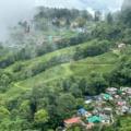
Mawlynnong, around 90 km from Shillong, was named Asia’s cleanest village by Discover India magazine in the early 2000s, and that reputation has made it one of the most photographed villages in the Northeast — bamboo fences, swept courtyards, and hanging flowerpots set against hills that turn a deep green in monsoon. The single-decker living root bridge at Riwai, a short walk from the main village, is a far gentler subject than Nongriat’s bridge: flat ground, a short approach, and a stream beneath it that’s visibly fuller in the rains. A bamboo skywalk on the edge of the village also gives a wide-angle view over the plains below on clearer days, though monsoon cloud frequently sits low enough to obscure that view entirely. Why it’s photogenic: manicured village detail set against a jungle backdrop, an easily accessible root bridge, and a hillside vantage point that alternates between clear plains views and total whiteout depending on cloud movement.
3. Shillong, Meghalaya

As Meghalaya’s capital and the most common entry point for the wider region, Shillong works for photographers on two levels: as a base with reliable infrastructure, and as a destination in its own right. Elephant Falls, a multi-tiered waterfall a short drive from the city centre, runs at its fullest in monsoon and is accessible via a paved staircase rather than a long trek, making it one of the easier waterfall shoots on this list. Ward’s Lake and the pine-covered ridges around the city hold cloud for long stretches through the day rather than burning off quickly, giving photographers repeated windows to work with instead of one brief opening at sunrise. Shillong Peak, on a clear morning, offers a wide view over the city and surrounding valleys, though as with most of Meghalaya, that clarity isn’t guaranteed during peak rain. Why it’s photogenic: an accessible multi-tier waterfall, pine ridgelines that hold mist for hours rather than minutes, and a hillside city view that rewards repeated short visits over one fixed attempt.
4. Dawki, Meghalaya

Dawki sits on the India–Bangladesh border, roughly three hours from Shillong, and is best known outside monsoon for the startling clarity of the Umngot River, where boats appear to float on glass. That clarity drops considerably during the rains as upstream runoff carries sediment into the river, so the river itself is a weaker monsoon subject than it is in winter. What does work well is the wider gorge — steep limestone cliffs on either side, suspension bridges, and the green that spreads across the surrounding hills. Photographers visiting specifically for the famous clear-water shot are better served by a December–February trip; those visiting in monsoon should reframe the destination as a green-valley and gorge shoot rather than a water-clarity one. Why it’s photogenic: dramatic limestone gorge scenery and lush valley greenery, though the signature clear-water effect is largely a dry-season feature rather than a monsoon one.
Kerala
5. Munnar, Kerala

Munnar sits at roughly 1,600 metres in the Western Ghats, and its tea estates — among the most photographed agricultural landscapes in India — shift to a noticeably deeper, more saturated green once monsoon sets in around June. Attukad Waterfalls, just off the Munnar–Kochi road, runs at full strength through the season and is reachable without a long trek, making it one of the more practical waterfall stops on a Kerala monsoon itinerary. Early mornings are the most reliable photography window: fog tends to settle into the tea-garden valleys overnight and holds until mid-morning, after which clearing skies, when they happen, tend to bring harder light. Top Station, on the Tamil Nadu border, offers a wider valley view on clear days but is also one of the spots most likely to be fogged out entirely during peak rain. Why it’s photogenic: tea-garden rows that turn visibly more saturated under cloud cover, dependable early-morning fog in the valleys, and an accessible roadside waterfall that doesn’t require a trek.
6. Wayanad, Kerala

Wayanad is the quieter, more forested counterpart to Munnar within Kerala’s hill circuit, and its monsoon advantage is mostly about water and canopy density rather than tea-garden colour. Soochipara and Meenmutty Falls both run considerably fuller between June and September, and the forest cover around Chembra Peak holds a layered, multi-tone green that’s harder to find in the comparatively manicured tea-estate landscapes elsewhere in Kerala. Banasura Sagar Dam’s surrounding hills also turn a deeper green in the rains, useful for wider landscape shots rather than waterfall close-ups. Because much of Wayanad sits inside or near protected forest and wildlife sanctuary land, some interior roads and viewpoints can close temporarily during very heavy rain, so it’s worth checking access locally before planning a shoot around a specific spot. Why it’s photogenic: dense, multi-layered forest canopy, two reliably full waterfalls, and landscapes that read as wilder and less manicured than Munnar’s tea-estate scenery.
7. Athirappally, Kerala

Athirappilly, often called the Niagara of India for its width rather than its height, is one of the most straightforward waterfall shoots in this entire list: a short walk from the parking area to a fenced viewpoint, no trekking required, and a waterfall that widens visibly once the Chalakudy River swells with monsoon rain. The surrounding forest, part of the Vazhachal Reserve Forest, frames the falls with dense green cover that’s part of what made the location a recurring backdrop in Malayalam and Bollywood films. Because access is so easy compared to most entries on this list, Athirappilly tends to draw heavier crowds on weekends through monsoon, so a weekday or early-morning visit generally gives a cleaner shot of the falls without people in frame. Why it’s photogenic: a wide, easily accessible waterfall that visibly broadens in monsoon, framed by dense reserve-forest greenery, with minimal trekking required to reach the main viewpoint.
Karnataka
8. Coorg, Karnataka

Coorg, centred around the town of Madikeri at roughly 1,525 metres, is built almost entirely around coffee cultivation, and it’s the combination of plantation shade-trees, pepper vines, and waterfalls that makes it one of Karnataka’s strongest monsoon subjects. Abbey Falls, just outside Madikeri, and Iruppu Falls, near the Brahmagiri Wildlife Sanctuary, both run considerably heavier through the season, with Iruppu in particular requiring a short forest walk that adds tree cover and filtered light to the shot. Coffee estate mist tends to settle most reliably in the hour or two after sunrise, before plantation workers are out and while light is still soft — worth planning a shoot day around rather than arriving mid-morning. Raja’s Seat, a sunset viewpoint over the valley, is hit-or-miss in peak monsoon depending on cloud cover that day. Why it’s photogenic: estate-grown coffee and pepper plantations with dense shade cover, two distinct waterfalls with different access profiles, and dependable early-morning mist over the valley.
9. Chikmagalur, Karnataka

Chikmagalur sits beneath Mullayanagiri, Karnataka’s highest peak at just under 1,930 metres, and the contrast between plantation lowlands and misted-over peaks is its main monsoon draw. Hebbe Falls, reached via a short jeep ride and walk through a coffee estate, runs noticeably fuller in the rains, while the upper slopes of Mullayanagiri and Baba Budangiri frequently disappear into cloud for hours at a stretch — dramatic to watch, but genuinely difficult and occasionally unsafe to trek in heavy rain. Because of that, most photographers get better, more consistent results treating Chikmagalur as a plantation and lower-elevation waterfall destination during peak monsoon, and saving the summit trek for the shoulder season just after the rains ease. Why it’s photogenic: a working coffee-estate landscape beneath Karnataka’s highest peak, a forest waterfall reached without a long trek, and dramatic, if unpredictable, cloud cover over the upper slopes.
10. Agumbe, Karnataka

Agumbe, sometimes called the “Cherrapunji of South India” for its rainfall totals, sits inside one of the densest stretches of rainforest in the Western Ghats, and that density — rather than any single landmark — is the real subject here. Tree cover here is thick enough to support a resident population of king cobras, and the forest floor stays a deep, almost black-green through peak monsoon in a way that’s hard to replicate elsewhere on this list. Agumbe’s well-known sunset point, which draws crowds in the dry season for views toward the Arabian Sea, is rarely usable for that purpose during heavy monsoon, since low cloud typically blocks the horizon for days at a stretch — making this more of a forest-interior and canopy shoot than a sunset one in peak rain. Why it’s photogenic: among the densest, darkest-green rainforest canopy in the Western Ghats, with rainfall totals that rival Meghalaya’s, though its signature sunset view is largely a dry-season feature.
11. Jog Falls, Karnataka

Jog Falls, on the Sharavathi River near Shimoga, is one of India’s tallest waterfalls and arguably the single biggest before-and-after contrast on this entire list: a comparatively modest flow for most of the year that becomes a roaring, multi-tiered wall of water once monsoon rain pushes the Sharavathi to peak volume. The falls are viewable from a developed viewpoint without requiring a trek, though spray from the falls at full volume can reach the viewing area, worth protecting gear for. Because Jog Falls depends partly on water released from the Linganamakki Dam upstream, flow can vary through the day depending on dam operations, so checking timing locally can make a meaningful difference to a shoot. Why it’s photogenic: one of India’s most dramatic wet-versus-dry seasonal contrasts, a multi-tiered waterfall visible without trekking, and water volume high enough to generate visible spray at the main viewpoint.
Maharashtra
12. Lonavala, Maharashtra

Lonavala sits at a relatively modest elevation of around 625 metres, but its location directly on the old Mumbai–Pune highway is what makes it one of the most photographed monsoon stretches in the country — waterfalls that don’t exist for most of the year appear directly off the roadside near Khandala once the rains set in. Bhushi Dam, just outside town, becomes a popular, if crowded, spot for water cascading over the dam wall, while the broader Sahyadri range visible from Lonavala’s viewpoints shifts from brown and dry to fully green within weeks of monsoon onset. Because it’s so close to two major cities, Lonavala gets significantly more weekend crowds than most other entries here, so weekday visits or early-morning starts generally produce cleaner shots. Why it’s photogenic: roadside waterfalls that appear specifically because of monsoon rainfall, a dramatic dry-to-green transformation across the Sahyadri range, and the most accessible monsoon landscape near Mumbai and Pune.
13. Mahabaleshwar, Maharashtra

Mahabaleshwar, at around 1,353 metres, sits higher and a little further from Mumbai than Lonavala, which generally means thicker, more persistent cloud cover through monsoon. Wilson Point and Arthur’s Seat, the town’s two best-known viewpoints, can shift between a fully clear valley view and total whiteout within minutes as cloud banks move through — a quality that makes the location more interesting to shoot than a guaranteed-view destination, since the unpredictability itself becomes part of the composition. The area’s strawberry farms, dormant for fruit during monsoon, still offer green farmland texture worth including in wider shots. Heavy rain can make some of the more exposed viewpoint trails slippery, so footwear matters here as much as at any forest-trek destination on this list. Why it’s photogenic: viewpoints with rapidly shifting cloud cover that alternate between clear valley views and complete whiteout, and a higher elevation than nearby Lonavala that holds mist for longer stretches.
14. Matheran, Maharashtra

Matheran, around 800 metres in elevation and roughly two hours from Mumbai via Neral, is India’s only fully car-free hill station — visitors reach the town centre on foot, by horse, or via a narrow-gauge toy train, and that absence of vehicle traffic is a meaningful part of what makes it photogenic. Without roads cutting through the frame, Matheran’s red laterite paths and viewpoints, Echo Point and Panorama Point among them, photograph with a cleaner, less cluttered foreground than almost anywhere else on this list. Monsoon mist tends to settle into the surrounding valleys visible from these viewpoints, and the toy train itself, when running, makes for a recognisable foreground subject against the misted hills behind it. Heavy rain occasionally suspends toy-train services, so it’s worth checking operational status before planning a shot around it. Why it’s photogenic: a vehicle-free hill station with unusually clean, uncluttered compositions, red laterite trails that photograph distinctly in wet light, and a heritage toy train as a recognisable foreground subject.
Himalayan Belt
15. Mussoorie, Uttarakhand

Mussoorie, at roughly 2,005 metres above Dehradun, sees a Himalayan monsoon pattern that’s distinct from the Western Ghats stations on this list: cloud moves through in waves rather than settling for hours, clearing and reforming repeatedly across a single day. Lal Tibba, the highest point in town, and Camel’s Back Road both offer in-and-out-of-cloud views that reward patience over a fixed shooting schedule — arriving expecting one clear window and leaving after the first cloud bank rolls in usually means missing two or three more openings later the same day. Landour, the quieter colonial-era quarter just above the main town, adds old stone architecture and pine cover to the frame, and tends to hold mist a little longer than the busier Mall Road area below it. Why it’s photogenic: a fast-cycling cloud pattern that opens and closes valley views multiple times a day, colonial-era architecture in Landour framed by pine forest, and a noticeably cooler, mistier feel than South India’s hill stations.
16. Nainital, Uttarakhand

Nainital is built directly around Naini Lake, at roughly 2,084 metres, and that lake is the centre of almost every strong monsoon composition the town offers. Early mornings bring a particular stillness — thin mist settling over flat water, far fewer boats out than in peak tourist season, and reflections of the surrounding hills that are harder to capture once afternoon wind and boat traffic pick up. Naina Devi Temple, on the lake’s northern shore, and the various Mall Road viewpoints add architectural and human-scale elements to wider lake shots. Because Nainital draws fewer crowds during monsoon than in its May–June peak season, it’s also one of the more comfortable entries on this list for photographers wanting space to set up a tripod without competing for a viewpoint. Why it’s photogenic: a lake-centred town with reliable early-morning mist over flat water, thinner crowds than peak season, and hillside reflections that are cleanest before wind and boat traffic build up later in the day.
17. Darjeeling, West Bengal

Darjeeling, at around 2,042 metres, is best known for its tea gardens and for views of the Kanchenjunga range, but monsoon affects those two subjects very differently. The tea estates — among the most recognisable agricultural landscapes in India — hold fog beautifully between the rows, and pickers working through light rain add a human element that’s harder to capture in the dry season when the gardens are busier with tourists. Kanchenjunga itself, however, is frequently blocked entirely by monsoon cloud cover for days at a stretch, so photographers visiting specifically for a mountain-view shot are generally better served planning around the clearer pre-monsoon or post-monsoon windows instead. The toy train and colonial-era Mall area still photograph well regardless of mountain visibility. Why it’s photogenic: tea-garden rows that hold fog distinctively well, working pickers as a human-scale subject, and colonial-era town architecture — balanced against the Kanchenjunga range being largely obscured during peak monsoon.
18. Valley of Flowers, Uttarakhand

The Valley of Flowers National Park, at roughly 3,658 metres in the Bhyundar Valley, is the one true monsoon-exclusive entry on this list: the park is generally open only from late May to early October, and its alpine meadows are at peak bloom specifically during July and August, when monsoon rain and meltwater combine to support hundreds of flowering species across the valley floor. Reaching it requires a multi-day approach — typically a drive to Govindghat, a trek to Ghangaria, and a further day hike into the valley itself — which keeps visitor numbers naturally lower than almost anywhere else on this list. The reward is a genuinely unusual landscape for Indian monsoon photography: an alpine meadow, rather than a tropical forest or tea estate, turning into a dense carpet of colour for a window of only a few weeks each year. Why it’s photogenic: a high-altitude alpine meadow that blooms specifically during monsoon rather than despite it, a multi-day trek that naturally limits crowding, and a flowering density and species variety that’s unmatched elsewhere on this list.
What Are Living Root Bridges and Where Can You See Them in Monsoon?
Living root bridges are footbridges grown by training the aerial roots of rubber fig trees (Ficus elastica) across rivers and streams over decades, a technique native to the Khasi and Jaintia communities of Meghalaya. The most visited examples are the double-decker bridge at Nongriat near Cherrapunji and the single-decker bridge at Riwai near Mawlynnong, both still in active use and both significantly more dramatic to photograph in monsoon, when the streams beneath them run full.
Monsoon rain makes the steps slippery, so proper trekking shoes matter more here than at almost any other stop on this list
Living root bridges are functional, not decorative — locals still use them as everyday river crossings
The Nongriat double-decker bridge requires a multi-hour trek down roughly 3,500 steps from Tyrna village
The Riwai bridge near Mawlynnong is far easier to reach and suitable for a shorter visit
Best Waterfalls to Visit in Monsoon — Quick Recap
Several waterfalls on this list go from modest to dramatic specifically because of monsoon rainfall, which is the main reason to time a trip around June–September rather than any other season.
- Nohkalikai Falls and Seven Sisters Falls — Cherrapunji, Meghalaya
- Athirappilly Falls — Thrissur district, Kerala
- Abbey Falls and Iruppu Falls — Coorg, Karnataka
- Hebbe Falls — Chikmagalur, Karnataka
- Jog Falls — Shimoga, Karnataka
- Soochipara and Meenmutty Falls — Wayanad, Kerala
- Attukad Waterfalls — Munnar, Kerala
Monsoon Landscape Photography Tips for These Locations
Shooting in monsoon comes with a different set of practical constraints than dry-season travel, mostly around gear protection and timing rather than composition itself.
- Protect gear first — a rain cover or dry bag for the camera body is non-negotiable; lens fogging is common when moving between humid outdoor air and air-conditioned vehicles
- Shoot early — fog and mist are usually heaviest and most photogenic in the first two to three hours after sunrise, before it burns off or gets blown through by wind
- Use the overcast light — flat, diffused cloud light is genuinely easier to expose for landscapes and portraits than harsh midday sun
- Build in flexible days — heavy rain can close roads or trekking routes with little notice, especially in Meghalaya and the higher Himalayan stops
- Check trail and road conditions locally — particularly for Nongriat, Valley of Flowers, and any route involving river crossings
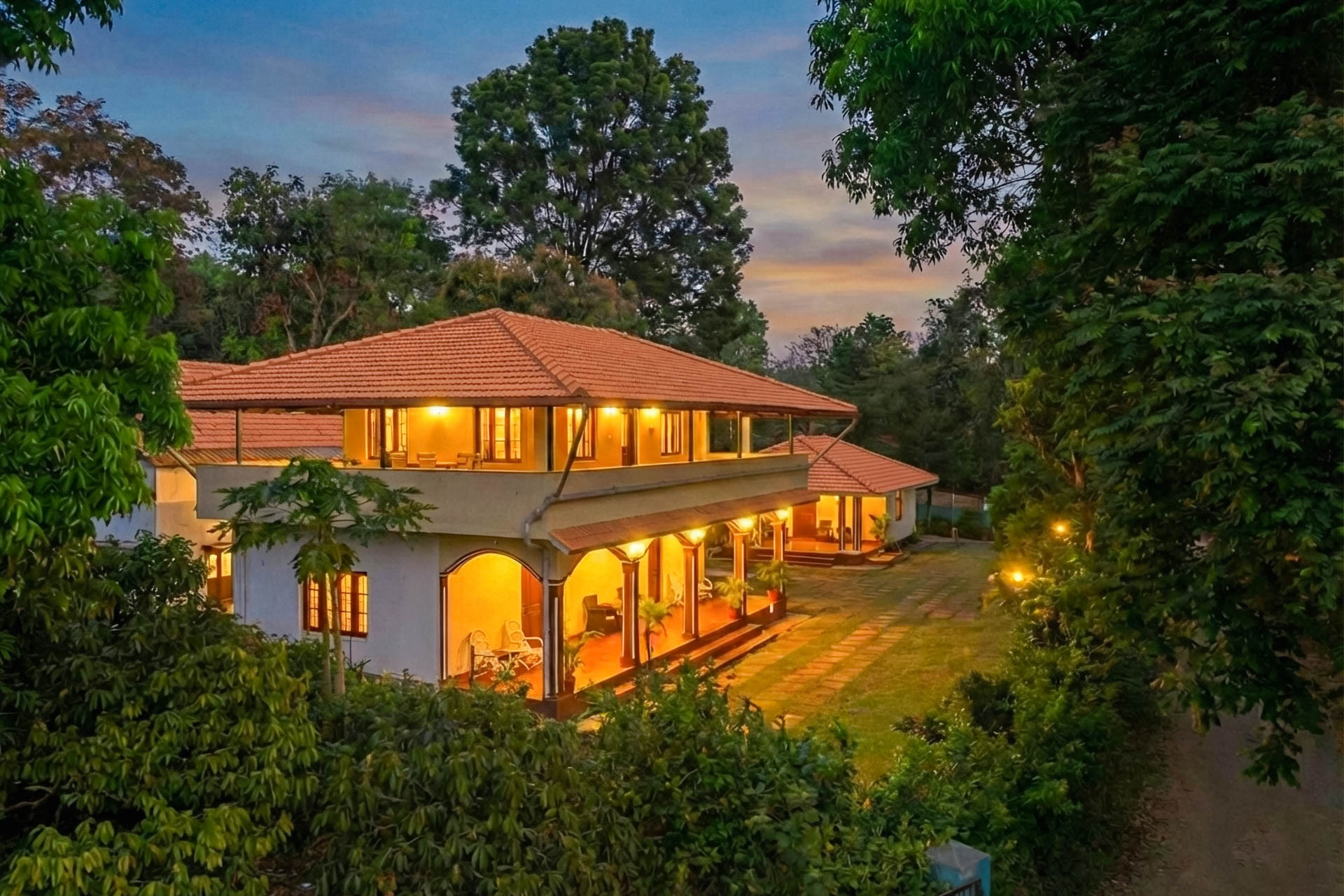
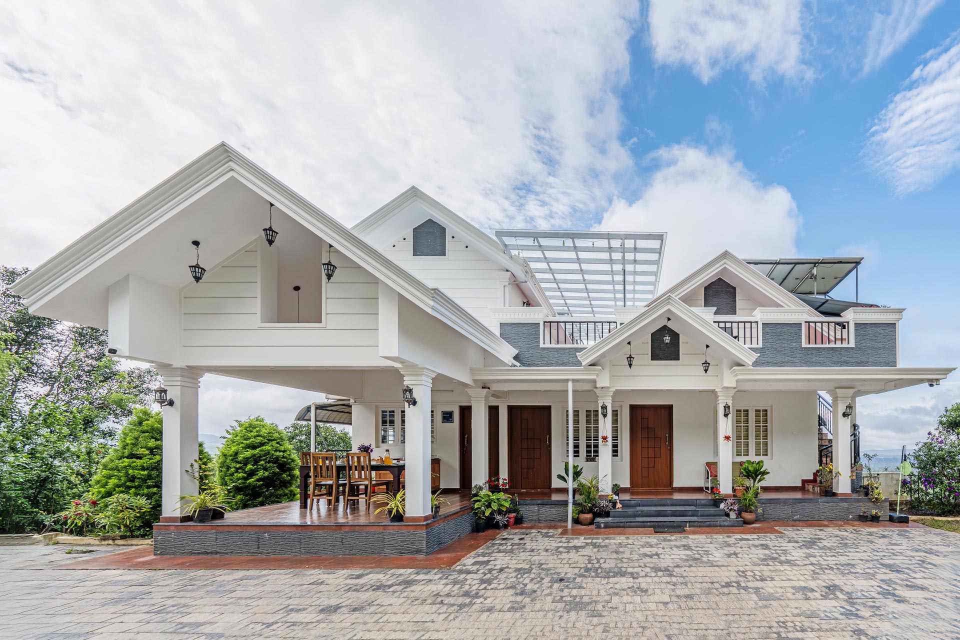
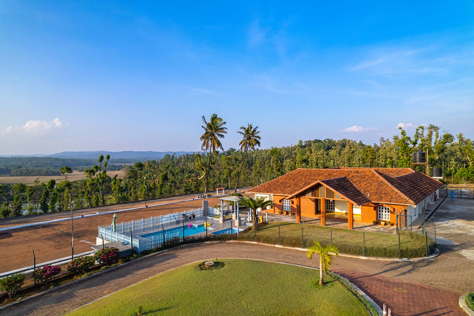
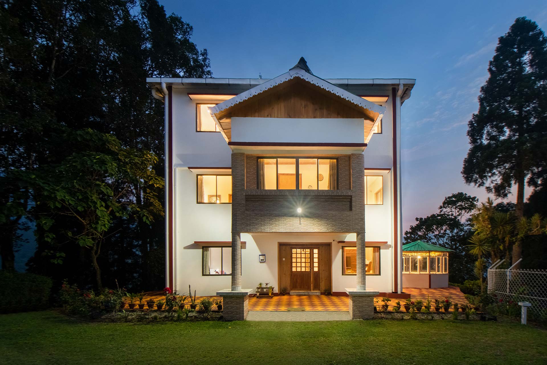
Where to Stay: Homestays & Villas
Coorg
Munnar
Wayanad

Chikmagalur
Lonavala

Mahabaleshwar

Mussoorie
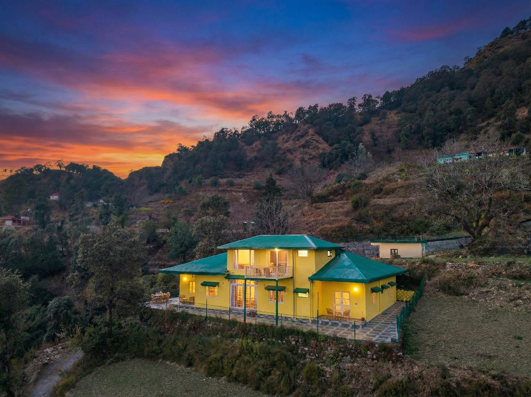
Nainital
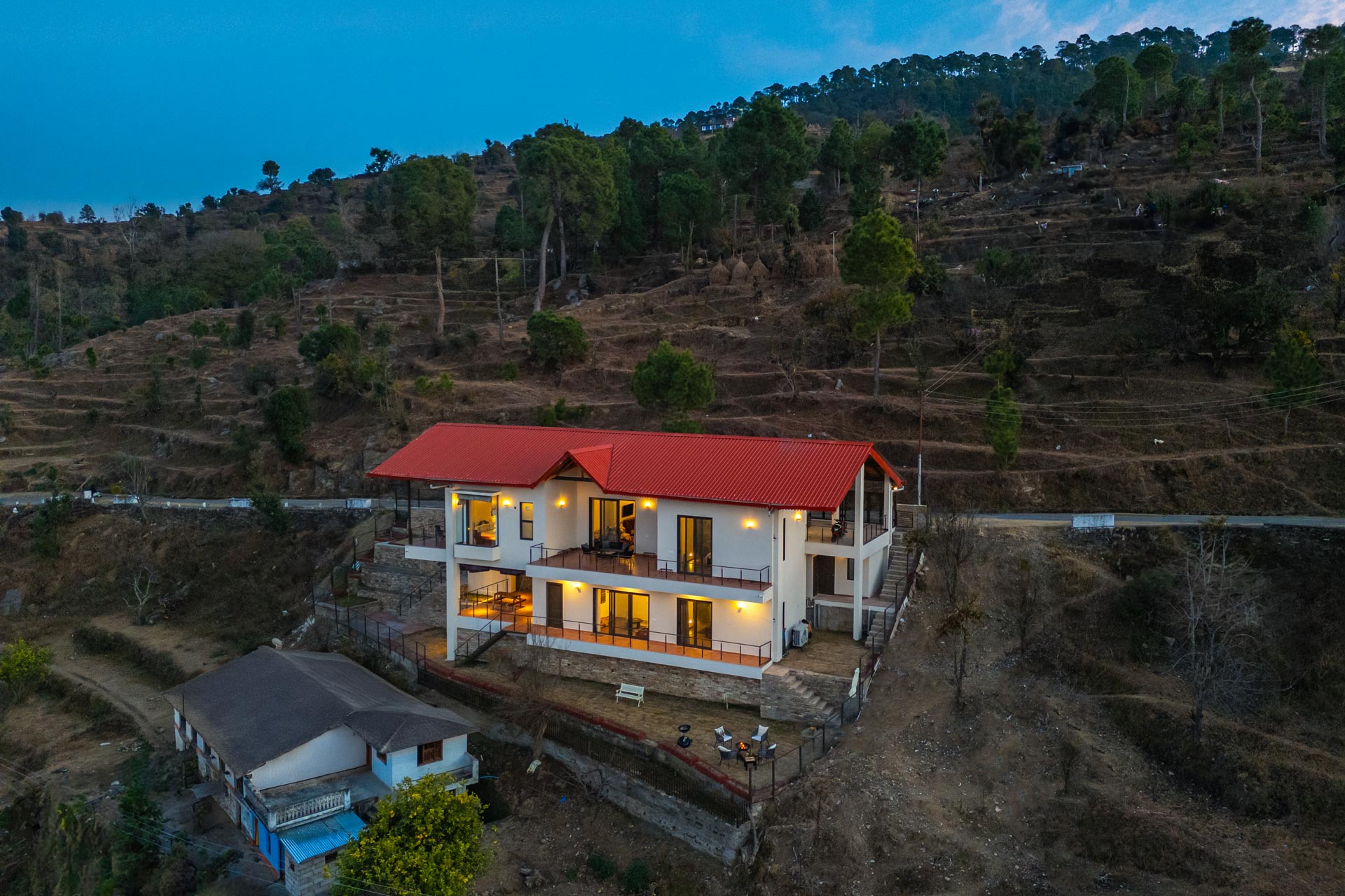
Darjeeling
How to Plan an Offbeat Monsoon Photography Trip in India
- Pair a remote shoot with a comfortable base — Cherrapunji or Agumbe for the dramatic landscape, then a villa stay in Coorg or Munnar to recover and edit
- Build in a buffer day — heavy rain regularly delays road and trail access in the Western Ghats and Khasi Hills
- Check seasonal access windows — the Valley of Flowers is only open roughly late May to early October, with the most reliable bloom in July–August
- Travel light on multi-step treks — Nongriat’s root bridge trek and the Valley of Flowers approach both reward a smaller, weather-sealed kit over a full bag of lenses
- Confirm local rainfall before booking — Meghalaya, Agumbe, and parts of the Western Ghats can see localised flooding that doesn’t show up in general monsoon forecasts for the wider region
Frequently Asked Questions
Cherrapunji and Mawlynnong in Meghalaya are widely considered the most photogenic monsoon destinations in India, combining living root bridges, multiple waterfalls, and dense fog cover between June and September.
Living root bridges are found in Meghalaya’s Khasi and Jaintia Hills, most notably the double-decker bridge at Nongriat near Cherrapunji and the single-decker bridge at Riwai near Mawlynnong.
Athirappilly in Kerala, Jog Falls in Karnataka, Abbey and Iruppu Falls in Coorg, and Nohkalikai and Seven Sisters Falls in Cherrapunji all run at their fullest and most dramatic between June and September.
Yes, broadly. The Valley of Flowers National Park is typically open from late May to early October, with peak bloom occurring during the monsoon months of July and August.
Yes, for most hill and waterfall destinations. Heavier rainfall fills waterfalls and rivers, vegetation turns visibly greener, and overcast skies provide softer, more even light than harsh dry-season sun.
Generally yes, but the steps leading to Nongriat’s double-decker bridge become slippery in heavy rain, so sturdy trekking shoes and caution are recommended over casual footwear.
Agumbe in Karnataka, Mawlynnong in Meghalaya, and Matheran in Maharashtra are less crowded than mainstream hill stations and still offer strong monsoon landscapes, including rainforest cover, root bridges, and fog-covered viewpoints.
Not reliably. The Umngot River is known for clarity mainly outside monsoon; heavy upstream rain during June–September typically increases sediment and reduces visibility, even though the surrounding hills remain green and photogenic.
A rain cover or dry bag for camera gear, a microfibre cloth for lens fogging, sturdy waterproof trekking shoes, a headlamp for early starts, and a smaller lens kit for treks involving river crossings or multi-step climbs.