
Harihar Fort Trek: Climbing the 117 Near-Vertical Rock Steps in Monsoon
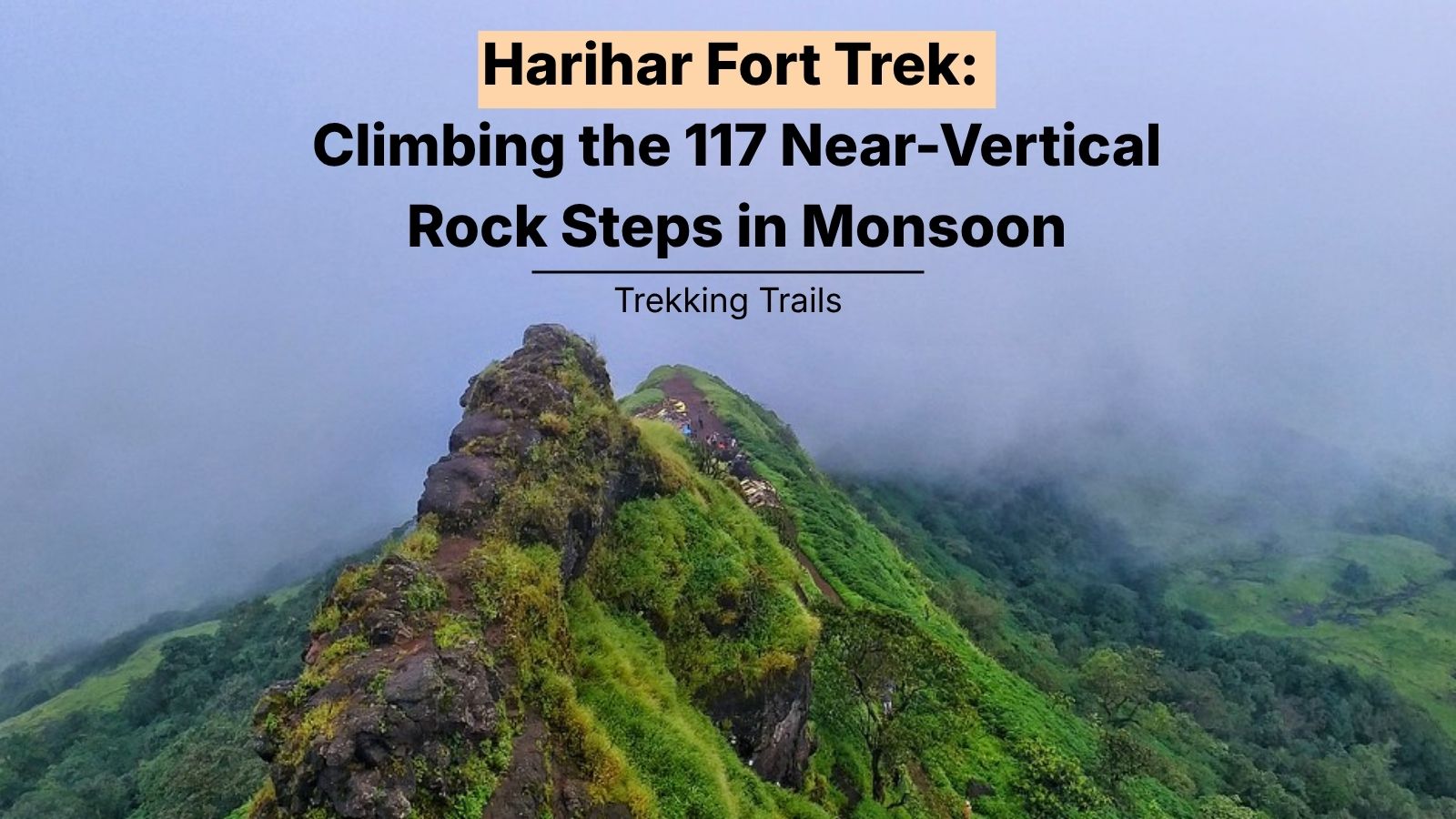
Harihar Fort — also called Harshgad — is a 3,676 ft hill fort near Nashik in Maharashtra, famous for a staircase of 117 near-vertical rock-cut steps carved at roughly 75–80 degrees into a triangular rock face. The trek is only 3 km one way but the final rock staircase is one of the most exposed climbs in the Western Ghats. In monsoon (June–September), the steps get treacherously slippery, visibility drops in fog, and several fatal accidents have occurred here — so most experienced trek leaders recommend September–October or post-monsoon instead of peak monsoon for first-timers.
In this Blog
Quick Info Table
| Detail | Information |
| Location | Nirgudpada village, Trimbak range, Nashik district, Maharashtra |
| Fort height | 3,676 ft (1,120 m) above sea level |
| Trek distance | ~3 km one way from base village |
| Trek duration | 2–3 hours up, 1.5–2 hours down |
| Difficulty | Moderate to difficult (very difficult in monsoon) |
| Best time to visit | September to February; avoid peak monsoon (July–August) for experienced trekkers only, with guide |
| Entry fee | Free entry (parking at base village) |
| Nearest airport | Nashik Airport (52 km); Mumbai Airport (170 km) |
| Nearest railway station | Kasara (65 km) or Igatpuri (55 km) |
| Nearest city | Nashik (48 km), Trimbakeshwar (18 km) |
| Ideal duration | 1 day (or overnight in Igatpuri/Nashik) |
| Trek permit required | No, but register at the base village |
What Makes Harihar Fort’s 117 Steps So Famous?
Harihar Fort’s staircase is one of the most photographed rock-cut climbs in India — and for good reason. The 117 steps are chiselled directly into a triangular basalt rock face at an angle of roughly 75 to 80 degrees, making them look nearly vertical from below. There are no separate iron ladders or bolted-on stairs; the steps are the mountain itself, carved by Yadava-dynasty engineers in the 9th–14th century.
Each step is narrow — about six inches deep — with a small handhold groove cut on either side. You climb with three points of contact at all times: two hands in the grooves, one foot on the step, alternating carefully. Halfway up, the staircase turns 90 degrees at a small ledge, adding an exposed pivot with a sheer drop on one side.
Harihar Fort’s iconic first staircase has 117 near-vertical rock-cut steps carved into a triangular basalt face at approximately 75–80 degrees, with narrow six-inch treads and hand grooves on either side.
At the top of that flight, you pass through a small stone doorway called the Mahadarwaza and continue up a second, less exposed set of steps before reaching the summit plateau. Together, the two step sections total around 200 steps. The summit hosts a small Hanuman temple, a Shiva shrine, a rock-cut water cistern (with drinkable water), and a cave shelter that can fit 6–8 people.
The fort was built by the Yadava dynasty and later changed hands between the Marathas, the Mughals, and finally the British in 1818. It commanded views over trade routes from Gujarat to the Deccan — which is why the sightlines from the top are so dramatic, extending across the Vaitarna reservoir and the Trimbak range.
The Monsoon Reality: Why This Trek Changes Completely from June to September
Monsoon transforms Harihar Fort from a moderate scramble into a genuinely dangerous climb. Photos of misty green Sahyadris and waterfalls sell the season, but here’s what actually happens on the rock:
The steps become mirror-slippery. Basalt develops a thin algae film in the rain, and the six-inch treads offer almost no friction. Trekking shoes with fresh Vibram soles help, but even experienced trekkers report slipping.
Visibility drops to under 10 metres. Clouds sit on the summit through most of July and August. You often cannot see the top of the staircase from the base of it, which means you’re climbing blind into fog with an exposed drop below.
The hand-grooves fill with water. The carved handholds pool with rain, and your grip suffers. Some trekkers wear grip gloves; most don’t, and pay for it.
Fatalities have occurred. Multiple deaths have been reported at Harihar Fort during monsoon over the past decade mostly on the descent, when tired legs and wet rock combine badly.
During monsoon, Harihar Fort’s 117 rock-cut steps become extremely slippery due to algae growth on wet basalt, visibility drops to under 10 metres in cloud cover, and the trek is considered dangerous even for experienced climbers, especially on the descent.
The good news: the shoulder monsoon window — mid-September to early November — gives you the lush green landscape, working waterfalls on the approach trail, and drier rock. Our team recommends this window for anyone attempting Harihar Fort for the first time. Peak July–August is for very experienced trekkers only, and even then, only with a professional guide.
Access closures: In particularly heavy monsoon years, the district administration or local police have restricted access to the summit staircase.
The Full Route: Nirgudpada Base Village to Summit
The trek starts at Nirgudpada village (sometimes called Harshewadi), about 48 km from Nashik and 18 km from Trimbakeshwar. From the parking area, the route breaks into three distinct sections:
Section 1: Village to Plateau Base (45 minutes to 1 hour)
You leave the village on a mud trail that climbs gently through farmland, then steepens as it enters the forest. In monsoon, this section is genuinely beautiful — dense green canopies, small seasonal streams, and views back over the paddy fields. Distance: about 1.5 km. There are two small streams to cross that swell in heavy rain .
Section 2: Plateau to Base of the 117 Steps (30–40 minutes)
The trail flattens across a rocky plateau with panoramic views of Basgad and Brahmagiri hills. This is the last easy section. You’ll pass a small tea stall run by villagers (open only in daylight hours) selling lemon water, biscuits, and boiled eggs. Fill up here — there’s nothing above. From the plateau, the base of the famous staircase becomes visible: a triangular grey rock face rising sharply against the sky.
Section 3: The 117 Steps to the Summit (30–45 minutes)
This is the section that defines the trek. Climb slowly, one person at a time on the narrowest bits, and never look down mid-step. About halfway up, there’s a small ledge where you can pause and turn 90 degrees. Above the first flight is the Mahadarwaza doorway, then a second, gentler set of steps to the summit. Total elevation gain from base village to summit: approximately 600 metres.
Pro tip: Go up on the left side of the staircase where the grooves are deeper, and come down on the right where you can face the rock. Never descend facing outward — always come down as if descending a ladder, facing the steps.
How to Reach Harihar Fort
The base village of Nirgudpada is accessible by road only. Public transport is limited, so most trekkers self-drive or hire a cab from Nashik, Igatpuri, Mumbai, or Pune.
From Mumbai (170 km, 4–4.5 hours)
- Route: Mumbai → NH-160 to Igatpuri → Ghoti → Trimbakeshwar → Nirgudpada
- Best mode: Self-drive or private cab.
- Alternative: Train from CST/Dadar to Kasara or Igatpuri, then shared cab to Trimbakeshwar and further to Nirgudpada.
From Pune (215 km, 5.5–6 hours)
- Route: Pune → Mumbai-Pune Expressway → Nashik Highway (NH-60) → Sinnar → Nashik → Trimbakeshwar → Nirgudpada
- Best mode: Self-drive is easiest; overnight halt in Nashik or Igatpuri recommended
- Alternative: Overnight bus/train from Pune to Nashik, then local transport
From Nashik (48 km, 1.5 hours)
- Route: Nashik → Trimbakeshwar Road → Nirgudpada
- Best mode: Self-drive or auto
From Trimbakeshwar (18 km, 40 minutes)
- The closest town with hotels and food. Many trekkers combine Harihar Fort with a Trimbakeshwar temple visit.
- Local jeeps and shared taxis available to Nirgudpada.
Parking at base village: Small paid parking lot managed by locals, approximately ₹50 for two-wheelers and ₹100 for cars.
Best Time to Visit Harihar Fort
Season shapes this trek more than most in the Sahyadris:
| Season | Months | What to Expect | Recommended? |
| Peak monsoon | July – mid-September | Slippery steps, fog, dangerous conditions, lush green landscape | Experienced trekkers only, with guide |
| Post-monsoon | Mid-September – November | Green landscape retained, dry-ish rock, cool weather, clear views | Best window |
| Winter | December – February | Cool mornings, clear skies, dry rock, easiest conditions | Excellent for first-timers |
| Pre-summer | March – April | Warm, dry, brown landscape, safest rock conditions | Good |
| Peak summer | May – early June | Extreme heat, no shade, water scarcity | Avoid |
What to Carry for a Monsoon Trek
Monsoon gear differs meaningfully from dry-season kit. Here’s the packing list our team uses:
Essential:
- Trekking shoes with fresh grip
- Grip gloves — cheap gardening gloves work; leather is too slippery when wet
- Poncho or full rain jacket — umbrellas are useless on the staircase
- Waterproof backpack cover or a garbage bag inside your bag
- Quick-dry clothing — cotton stays wet all day and causes chills
- 2 litres of water minimum
- Energy bars, dry fruits, ORS sachets
- Small first-aid kit with band-aids, betadine, painkiller
- Headlamp or torch if there’s any chance of late descent
Recommended:
- Trekking poles (retract them for the staircase — you need both hands free)
- Waterproof phone pouch
- Change of clothes in the car for the drive back
- Cash for base village purchases (no UPI at Nirgudpada tea stalls)
Do NOT wear: flip-flops, crocs, jeans (heavy when wet), full sleeves that soak, cotton socks (blisters).
Safety Guide
Harihar Fort has had genuine incidents. Here’s how to stay safe:
Before You Go
- Check the weather the night before and the morning of. Heavy rain forecasts (over 40mm expected) mean cancel the summit push
- Register your visit at the base village if there’s a log book — many bases have started this practice
- Never trek solo in monsoon. Minimum group size: 3
- Tell someone your plan and expected return time
On the Trek
- Climb the staircase one at a time. Wait for the person ahead to clear before starting
- Three points of contact always. Two hands in the grooves, one foot on the step
- Do not stop midway on the staircase for photos — it blocks others and increases fatigue exposure
- If it starts raining hard while you’re on the steps, retreat immediately to the plateau below. Do not push on
- Descent is riskier than ascent. Take twice as long, face the rock, and don’t hurry
- Give way to descending trekkers on the narrow steps
If Something Goes Wrong
- The nearest hospital is in Trimbakeshwar (Rural Hospital) or Nashik (Civil Hospital, Ashoka Medicover, Wockhardt)
- Nashik district emergency: 112
- Mobile signal is patchy above the plateau — Airtel and Jio work best
- Local villagers know first-aid and can help — Nirgudpada residents are trained to assist trekkers
Harihar Fort is a moderate-to-difficult trek that becomes technically demanding in monsoon; minimum recommendations include grip shoes, gardening gloves, a group of at least three trekkers, and cancellation if rainfall exceeds 40mm on the day.
What to See at the Summit
The staircase is the star, but the summit rewards you too:
Small Hanuman & Shiva shrines — Simple stone shrines maintained by villagers. A small bell hangs at the Hanuman shrine.
Rock-cut water cistern — A natural reservoir carved into the basalt. Water is drinkable year-round; villagers say it never dries. Fill up here if needed.
Cave shelter — A small cave that can accommodate 6–8 people. Some trekkers use it for overnight camping, though this is technically not permitted and inadvisable in monsoon.
360-degree Sahyadri views — On a clear day, you can see the Vaitarna reservoir, Utavad hill, Basgad, Brahmagiri, and the entire Trimbak range. In monsoon, you see clouds — beautiful but limiting.
Best photo spot: From the plateau at the base of the staircase, looking up, is the iconic shot most photographers come for. The summit itself has better view photos but the composition angle is harder.
Nearby Forts and Attractions
Harihar Fort combines well with other Trimbak-range forts and Nashik attractions. If you’re staying overnight, add one or two of these:
Trimbakeshwar Temple (18 km)
One of the 12 Jyotirlingas of Lord Shiva, and the source of the Godavari river.
- Entry fee: Free entry; VIP darshan pass
- Time required: 2–3 hours
- Ideal for: Pilgrims, cultural travelers
Brahmagiri Hill Trek (20 km from Harihar)
Source of the Godavari river; a moderate 3-hour trek with steps.
- Entry fee: Free
- Timings: Sunrise to sunset
- Ideal for: Trekkers doing a two-day trip
Anjneri Hill — Hanuman’s Birthplace (30 km)
A moderate trek to a hilltop temple, believed to be Lord Hanuman’s birthplace.
- Entry fee: Free
- Time required: 4–5 hours round trip
- Best time: Post-monsoon
- Ideal for: Trekkers, mythology enthusiasts
Vaitarna Dam & Reservoir (35 km)
Massive reservoir with picnic-friendly viewpoints.
- Entry fee: Free entry to viewpoint areas
- Ideal for: Families, photography
Sula Vineyards, Nashik (55 km)
India’s most famous vineyard, with tours, tastings, and a restaurant.
- Entry fee: Depending on tour package
- Time required: 3–4 hours
- Ideal for: Couples, food and wine enthusiasts
Suggested Itineraries
1-Day Trek from Mumbai
- 4:30 AM: Leave Mumbai
- 7:30 AM: Reach Nirgudpada village
- 8:00 AM: Start trek
- 10:30 AM: Summit
- 11:30 AM: Begin descent
- 1:30 PM: Back at village; lunch at Trimbakeshwar
- 6:00 PM: Back in Mumbai
Tight but doable in the dry season. In the monsoon, add a buffer of 1–2 hours.
2-Day Weekend Getaway (Recommended)
Day 1 (Saturday):
- Morning: Drive from Mumbai/Pune to Igatpuri or Nashik
- Check into villa/homestay by 2:00 PM
- Afternoon: Rest, explore local waterfalls (Bhandardara, Randha Falls if from Igatpuri; Someshwar Waterfall from Nashik)
- Evening: Dinner at villa
Day 2 (Sunday):
- 6:00 AM: Drive to Nirgudpada
- 7:30 AM–1:30 PM: Trek Harihar Fort
- 2:00 PM: Lunch in Trimbakeshwar
- 3:00 PM: Temple visit
- 5:00 PM: Drive back to city
This is the format our team recommends — you’re better rested, you can time the summit for early morning when rock is at its dryest, and you have a comfortable base to return to.
Where to Stay Near Harihar Fort
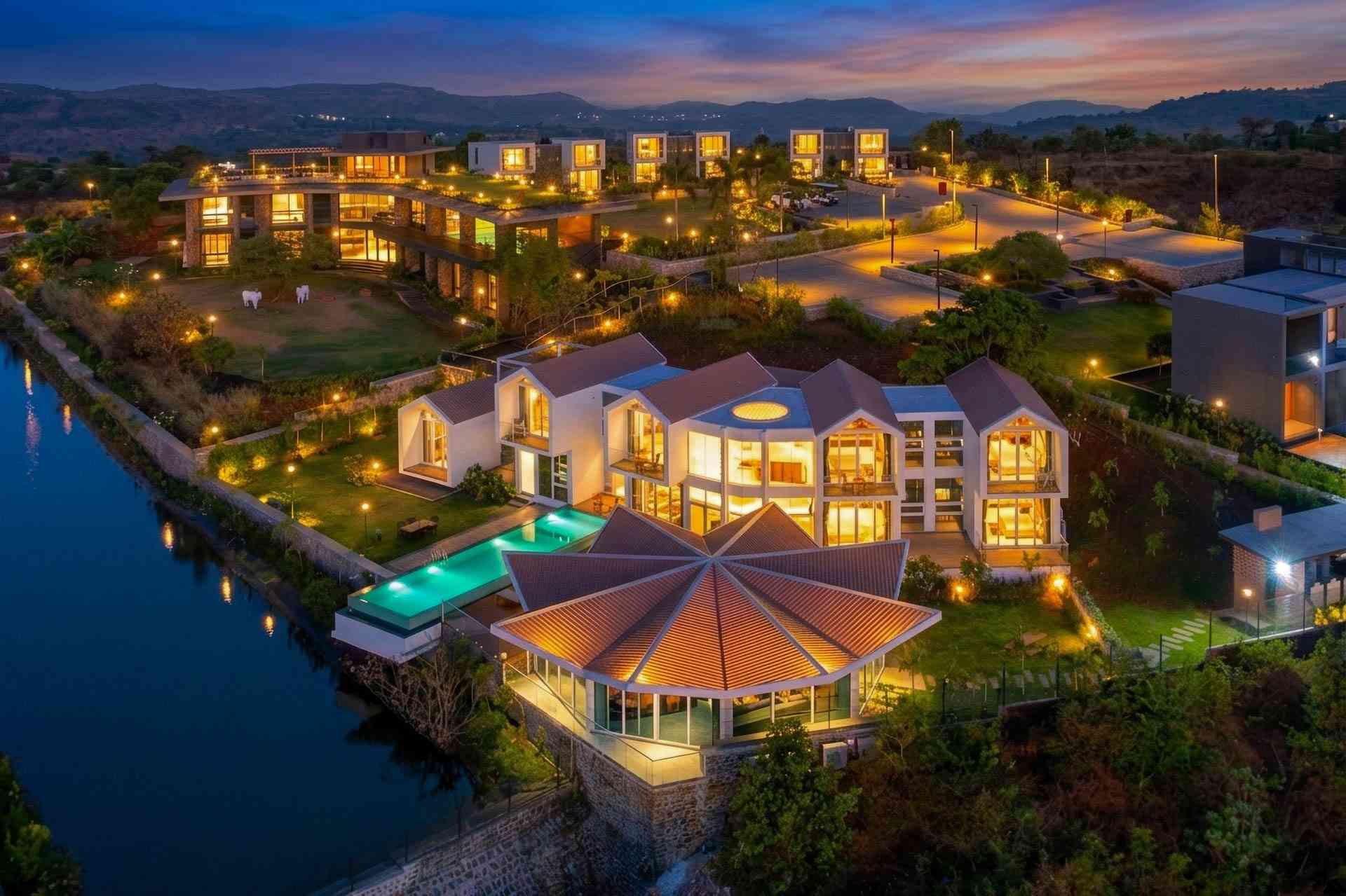
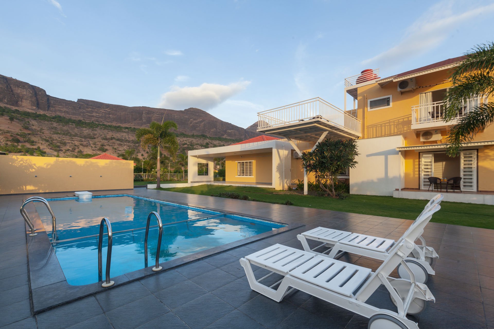
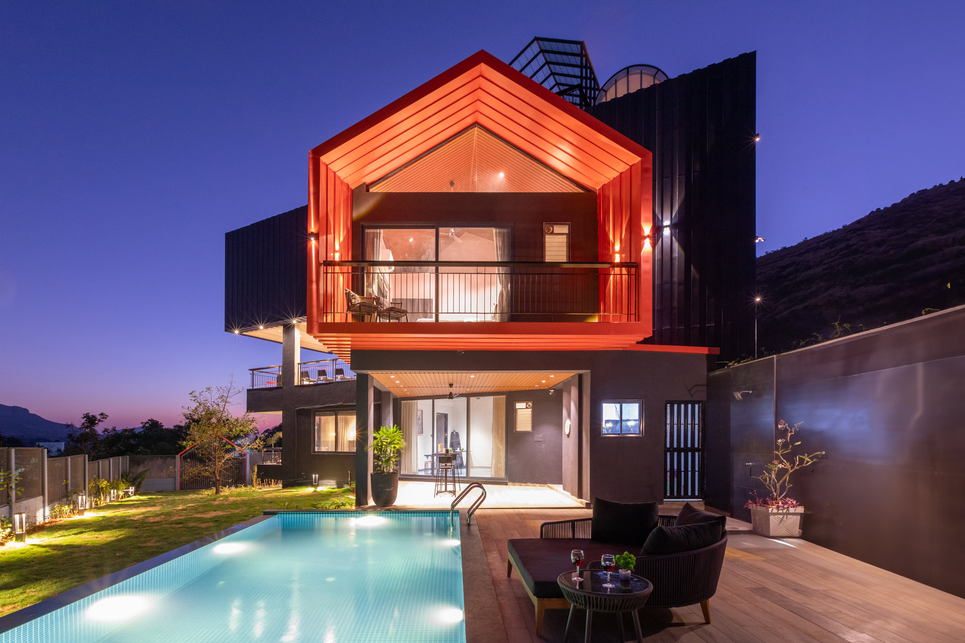
The trek is best done as an overnight trip from Mumbai or Pune. Nirgudpada village itself has no formal accommodation, so the ideal bases are Igatpuri (50 km) or Nashik (48 km). Both put you within 90 minutes of the base village, and both have StayVista properties designed for weekend getaways from Mumbai and Pune.
For a monsoon trek, we recommend Igatpuri — the Kasara ghat drive is one of the most scenic monsoon routes in Maharashtra, and Igatpuri’s misty hills give you the full Sahyadri atmosphere both before and after the trek. Nashik works better if you want to combine Harihar with vineyards, Trimbakeshwar temple, or the Kumbh Mela ghats.
Book at stayvista.com/villas-in-igatpuri or stayvista.com/villas-in-nashik for verified private villas with in-house cooks — a real luxury after a wet, tiring trek day.
Frequently Asked Questions
Harihar Fort is a moderate-to-difficult trek. The 3 km approach trail is easy, but the final 117 near-vertical rock-cut steps make it technically challenging. First-time trekkers with basic fitness can do it in the dry season with care; in monsoon, it becomes difficult and is not recommended for beginners.
The trek is significantly more dangerous in monsoon due to algae-covered slippery steps, low visibility, and heavy rain on exposed sections. Multiple fatal accidents have occurred here in the rainy season. Peak monsoon (July–August) should be attempted only by experienced trekkers with professional guides; September–November offers the green landscape with drier rock and is much safer.
The most famous section has 117 near-vertical rock-cut steps carved into a triangular basalt rock face. After passing through the Mahadarwaza doorway at the top, there’s a second, less exposed set of steps to the summit. Together, the two sections total approximately 200 steps.
The best time to visit Harihar Fort is from September to February. September and October give you post-monsoon green landscapes with drier rock; November to February offers cool weather, clear skies, and the easiest climbing conditions. Avoid peak monsoon (July–August) and peak summer (May) due to safety and heat concerns respectively.
The trek takes 2 to 3 hours to ascend and 1.5 to 2 hours to descend. Total time from base village to summit and back is approximately 4 to 5 hours, including short breaks. Plan for a full 6 to 7 hours if you include a summit rest and lunch.
Harihar Fort is 170 km from Mumbai, approximately 4 to 4.5 hours by road. The route goes via NH-160 to Igatpuri, then to Ghoti and Trimbakeshwar, and finally to Nirgudpada village — the base of the trek. Self-drive is easiest; alternatively, take a train to Kasara or Igatpuri and hire a cab onwards.
There is no official entry fee for Harihar Fort. You may pay a small parking charge at Nirgudpada village. Local villagers may collect a nominal cleaning or maintenance fee in some months.
A guide is not mandatory in the dry season if you’re an experienced trekker; the trail is well-marked and other trekkers are usually present. In monsoon, a local guide is strongly recommended and often available at Nirgudpada village. Guides know the safest step-by-step technique and can spot weather changes early.
Beginners with average fitness can attempt Harihar Fort in dry season (November to February) but should approach the 117-step staircase carefully. Monsoon is not recommended for beginners due to slippery conditions. First-timers should ideally trek with someone experienced and avoid crowded weekends.
There is no official overnight stay at the summit. A small cave shelter at the top can hold 6–8 people, but camping is technically not permitted and unsafe in monsoon. Most trekkers stay overnight in Igatpuri (50 km) or Nashik (48 km) — both have private villas and homestays suited for pre- and post-trek stays.