
6 Monsoon Cycling Road Trips in the Western Ghats & Nilgiris (2026 Guide)
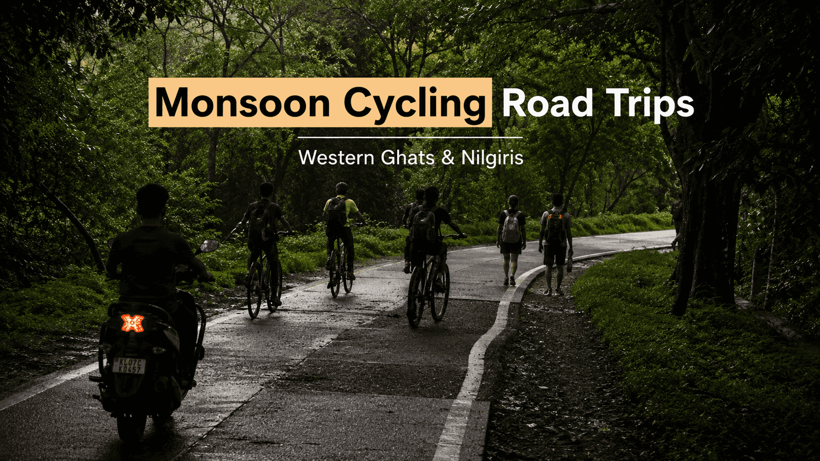
For cyclists, the monsoon changes South India in a way no other season can. Roads turn cooler, rivers run stronger, waterfalls activate, and the mountain air carries a freshness that settles in after every shower. While most travellers wait for winter, experienced riders often prefer the rains precisely because the Western Ghats empty out and reward the extra planning.
The trick is picking routes that stay genuinely rideable, watching the forecast rather than the calendar, and starting each climb before the afternoon showers arrive. Done right, monsoon cycling here becomes one of India’s most memorable outdoor experiences — and the region’s reputation isn’t just marketing: endurance events like the Tour of Nilgiris (held every December, since 2008) draw riders from across the country specifically because these mountain roads rank among the toughest and most scenic in India.
TL;DR: The six best monsoon cycling routes in the Western Ghats are Coorg, Chikmagalur, the Nilgiris (Coonoor–Kotagiri–Ooty), Munnar, Agumbe and Sakleshpur — each combining cooler temperatures, forest roads and lighter traffic. Munnar needs an extra caution: StayVista’s own destination guidance advises avoiding peak July–August travel there, making June or September the safer monsoon window for that route specifically.
In this Blog
Quick Info: Monsoon Cycling in the Western Ghats
| Field | Details |
|---|---|
| Best months | July–September (routes vary — see caution on Munnar below) |
| Regions covered | Kodagu/Coorg, Chikmagalur, the Nilgiris, Idukki (Munnar), Shivamogga (Agumbe), Hassan (Sakleshpur) |
| Reference event | Tour of Nilgiris — ~900 km over 8 days, ~13,500 m cumulative elevation, held every December |
| Riding style | Road bikes work on most routes; wider tyres recommended for wet descents |
| Caution destination | Munnar — StayVista’s own guidance advises avoiding peak July–August |
| Where to stay | Villas verified live in Coorg, Ooty, Chikmagalur and Munnar; Sakleshpur and Agumbe currently have no direct StayVista inventory — Chikmagalur works as the base for both |
Why Choose Monsoon Cycling in the Western Ghats?
Daytime temperatures across the Western Ghats typically run well below summer highs between July and September, and rain settles the dust that otherwise coats forest roads for most of the year — the combination is what makes a wet-season ride feel cleaner and more comfortable than the numbers alone would suggest. It comes with real conditions to manage, though, not just an upside.
Successful monsoon cycling here depends on:
- Starting rides shortly after sunrise, before afternoon storms build
- Checking local rainfall forecasts the same morning, not the night before
- Using tyres with proven wet-weather grip
- Wearing bright, high-visibility clothing
- Carrying waterproof bags for electronics and phones
- Avoiding descents and open roads during heavy afternoon downpours
1. Cycling in Coorg
Coorg’s coffee estates, pepper plantations and quiet village lanes create long stretches with almost no traffic — riders here tend to stop often, since nearly every few kilometres opens onto another climb or winding descent worth pausing for. Madikeri, the district headquarters and usual starting point, sits at 1,170 m elevation, and popular loops run through Abbey Falls Road (about 8 km from town), Galibeedu and Suntikoppa, with most day-loop routes covering 20 km or more through coffee farms, forest and small villages that have changed little in decades.
Citation-ready fact: Madikeri sits at 1,170 m elevation, with the Abbey Falls loop roughly 8 km from town and full day rides commonly running 20 km or more through coffee estates and forest.
Things to do in Coorg
- Ride through coffee estates
- Visit Abbey Falls
- Stop at Raja’s Seat (about 1.5 km from Madikeri bus station)
- Taste locally grown coffee
- Visit Dubare Elephant Camp
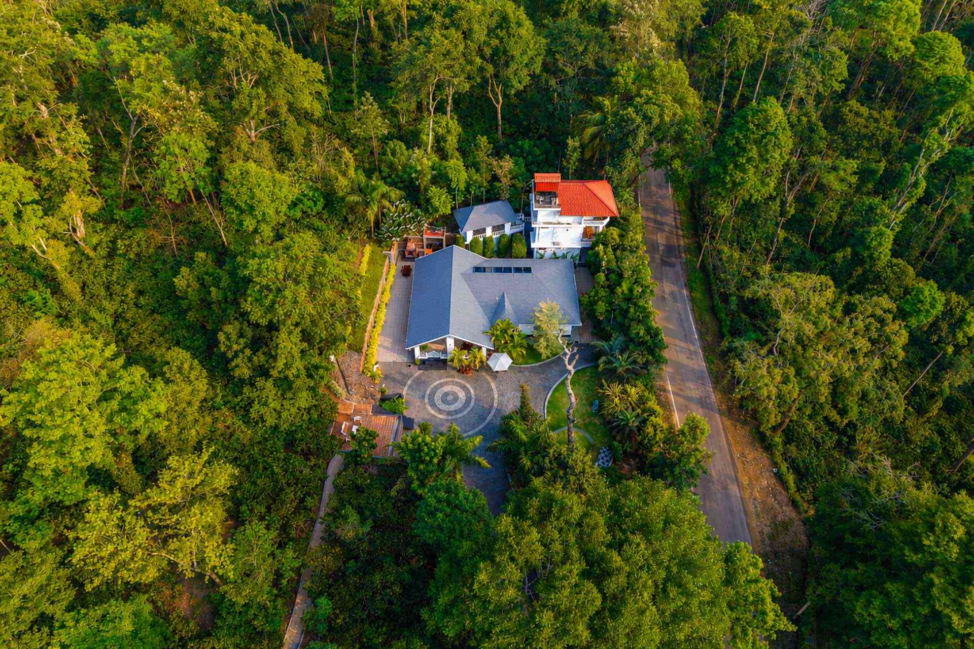
Where to stay: The Haven – Grandeur is a 4-bedroom villa rated 4.9/5 across 190 reviews — a Guest Favourite — secluded in the countryside with forest views, breakfast included, and home-cooked meals using local ingredients. It’s the kind of base that lets riders come back to a proper meal and a quiet lawn after a wet morning in the saddle.
2. Cycling in the Nilgiris
Coonoor, Kotagiri and Ooty anchor the Nilgiris’ reputation among endurance cyclists, and it isn’t hype — sections of these exact climbs form part of the Tour of Nilgiris route, an 8-day, roughly 900 km non-competitive tour (distances have ranged 860–1,000 km across editions) that’s run every December since 2008 and now totals over 13,500 m of cumulative elevation gain across its toughest stretches. The Coonoor loop is the most popular single ride, pairing moderate climbing with sweeping views and smoother tarmac than most Ghats roads offer.
Worth being precise about: Tour of Nilgiris itself happens in December, not monsoon — its existence is evidence of how seriously cyclists rate these roads, not proof that the event runs in the rains. If you’re riding in July–September instead, expect the same climbs (including the well-known Kalhatty ascent) but wetter, quieter, and requiring real patience on the hairpins.
Citation-ready fact: The Tour of Nilgiris, run every December since 2008, covers roughly 900 km over 8 days with more than 13,500 m of cumulative elevation gain — a scale that ranks the Nilgiris among India’s toughest amateur cycling terrain.
Things to do in Ooty
- Ride towards Coonoor
- Visit the Government Botanical Garden
- Enjoy Ooty Lake
- Stop at a tea factory
- Photograph the Nilgiri Mountain Railway (a UNESCO World Heritage line)
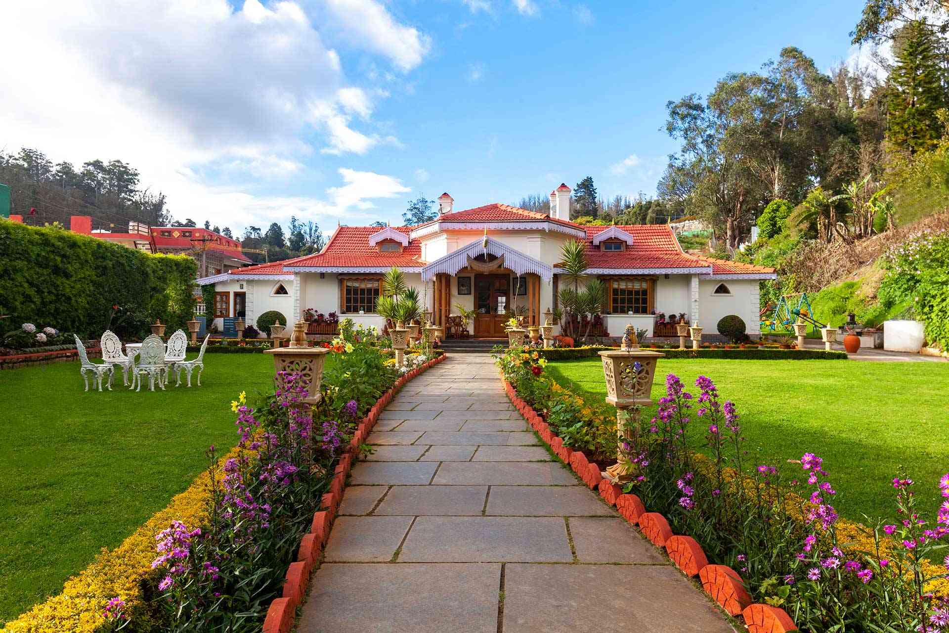
Where to stay: Greenwood Bungalow is a 6-bedroom British heritage villa in Ooty town, rated 4.8/5 across 177 reviews, about 2 km from Udagamandalam Railway Station and 0.9 km from the toy train stop. Every room has its own oil heater — genuinely useful after a cold, wet Nilgiri climb — making it a strong multi-day base for a riding group.
3. Chikmagalur Loop
Chikmagalur is less a single ride than an entire cycling region. The roads toward Mullayanagiri — Karnataka’s highest peak at 1,925 m, about 20 km from town — and Baba Budangiri, the state’s second-highest at 1,895 m and roughly 36 km from Chikmagalur (23 km from Mullayanagiri by road), combine sustained climbing with rolling coffee-estate sections that keep the scenery changing constantly. After rain, streams run fuller and the roadside vegetation turns into a genuinely green corridor for most of the ride.
Citation-ready fact: Mullayanagiri (1,925 m, Karnataka’s highest peak) sits about 20 km from Chikmagalur town, with Baba Budangiri (1,895 m, the state’s second-highest) a further 23 km by road — a combined climbing route through some of Karnataka’s highest terrain.
Things to do in Chikmagalur
- Visit Mullayanagiri
- Ride through coffee plantations
- Stop at Hirekolale Lake
- Visit Baba Budangiri
- Enjoy local cafés
Where to stay: Misty Barn – Oodsey is a British-era heritage villa rated 4.5/5 across 94 reviews, with 5 bedrooms for up to 15 guests, a private pool, lawn and mountain views. This same base also works well for riders extending onward to Sakleshpur or Agumbe (see below) — both sit within a comfortable drive of Chikmagalur town.
4. Munnar Circuit
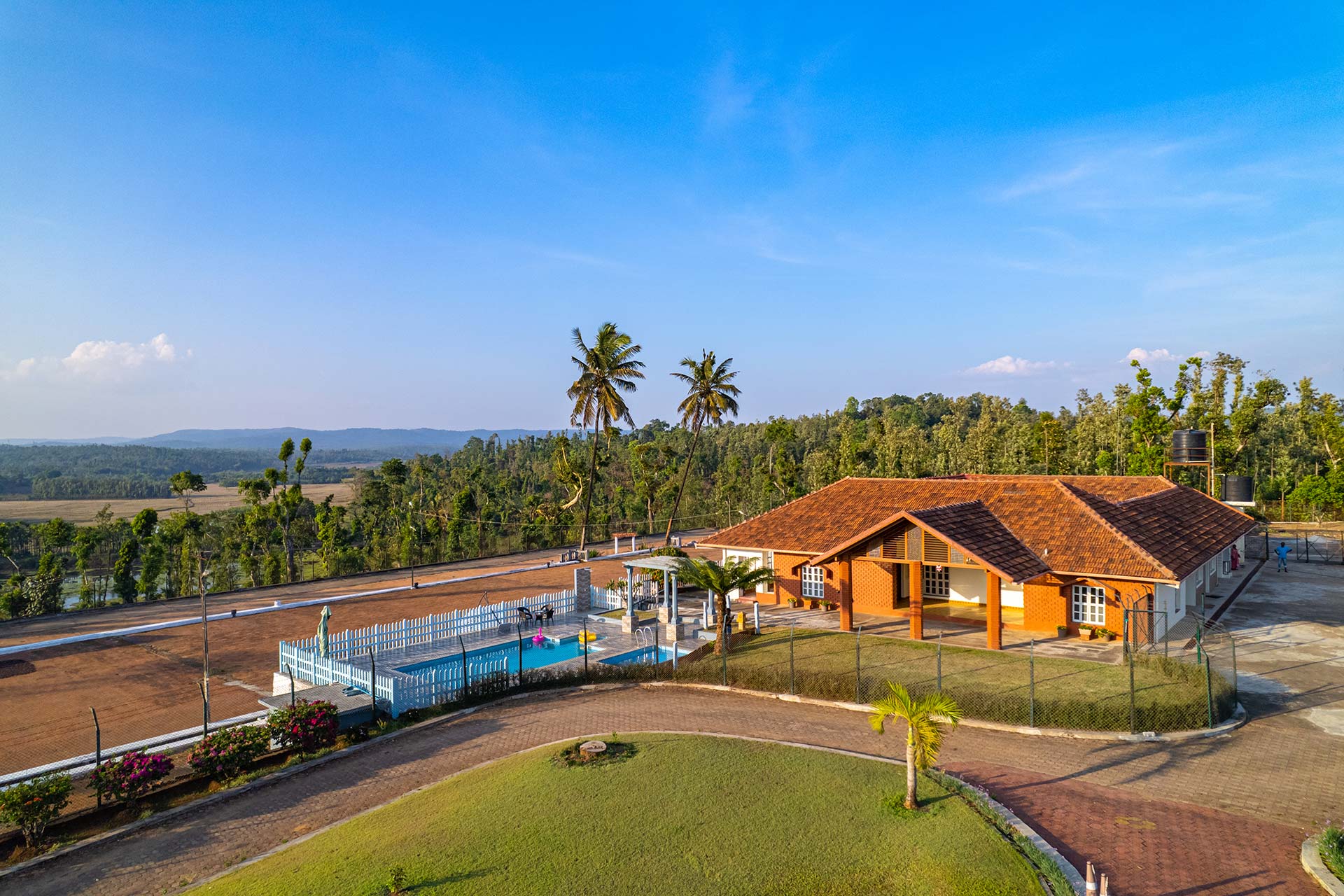
Munnar lies in Kerala rather than Karnataka or Tamil Nadu, but it forms an essential southern anchor of the Western Ghats cycling circuit. The classic loop runs from Munnar town toward Lockhart Gap and Mattupetty Dam — both about 13 km out, with the dam sitting at roughly 1,700 m elevation — before continuing to Top Station, 32 km from town and close to 1,920 m (about 6,300 ft), with views opening into Tamil Nadu’s Theni district.
A genuine caution here, not a formality: StayVista’s own Munnar destination guidance explicitly recommends the September-to-May window and advises against travel in peak July–August. Kerala’s southwest monsoon lands harder and more continuously on Munnar than the more intermittent monsoon pattern further north in Karnataka’s Ghats, so treat this route as a June or September ride rather than a July/August one — the roads and views are still excellent, just plan around the wettest weeks specifically.
Citation-ready fact: Munnar’s climbing loop runs Munnar town → Lockhart Gap (13 km) → Mattupetty Dam (13 km, ~1,700 m elevation) → Top Station (32 km, ~1,920 m), with StayVista’s own guidance advising against travel there in peak July–August monsoon.
Things to do in Munnar
- Ride towards Top Station
- Visit Mattupetty Dam
- Stop at the Tea Museum
- Enjoy local cafés
- Watch sunrise from Lockhart Gap
Where to stay: Titha Villa is a 3-bedroom villa for up to 10 guests, rated 4.5/5 across 55 reviews, with mountain views, a BBQ grill and pet-friendly rooms — a comfortable, right-sized base for a small riding group timing their trip around Munnar’s shoulder-season window.

5. Agumbe Ghat Ride
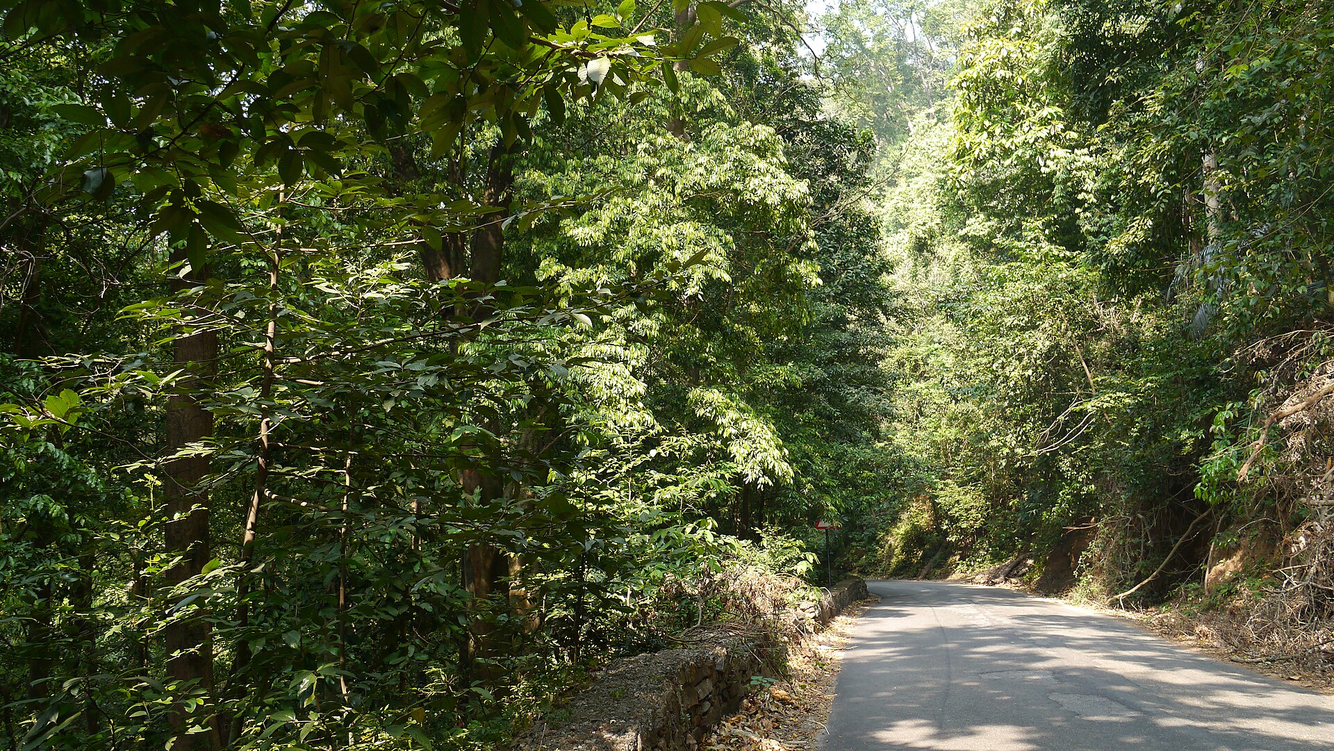
Agumbe is South India’s wettest region — often called the “Cherrapunji of the South” — receiving around 7,000 mm of rain annually, though that’s still well below Meghalaya’s Mawsynram (~11,873 mm) and Cherrapunji (~11,610 mm), which hold India’s actual national rainfall records. What that 7,000 mm does mean locally: the surrounding rainforest, one of the last stretches of its kind in this belt, stays vivid and dense for months, and the Agumbe Ghat Road connecting Shivamogga with Udupi delivers a genuinely different ride every few kilometres — dense forest one stretch, sudden valley viewpoints the next.
Because visibility changes fast in heavy rain here, ride cautiously and avoid descending at speed on the ghat’s tighter bends.
Citation-ready fact: Agumbe receives roughly 7,000 mm of rain annually — the highest in South India, though still under half of Meghalaya’s Mawsynram (~11,873 mm), India’s actual wettest recorded location.
Things to do in Agumbe
- Ride the Agumbe Ghat
- Visit Sunset View Point
- See Barkana Falls from designated viewpoints
- Visit the Agumbe Rainforest Research Station
- Taste local Malnad cuisine
Where to stay: StayVista currently has no live property directly in Agumbe. Misty Barn – Oodsey in Chikmagalur makes the most practical base for this leg — check current road-drive time from Chikmagalur to Agumbe before planning a same-day return, since it’s a genuine ghat-road distance rather than a short hop.
6. Sakleshpur Coffee Route
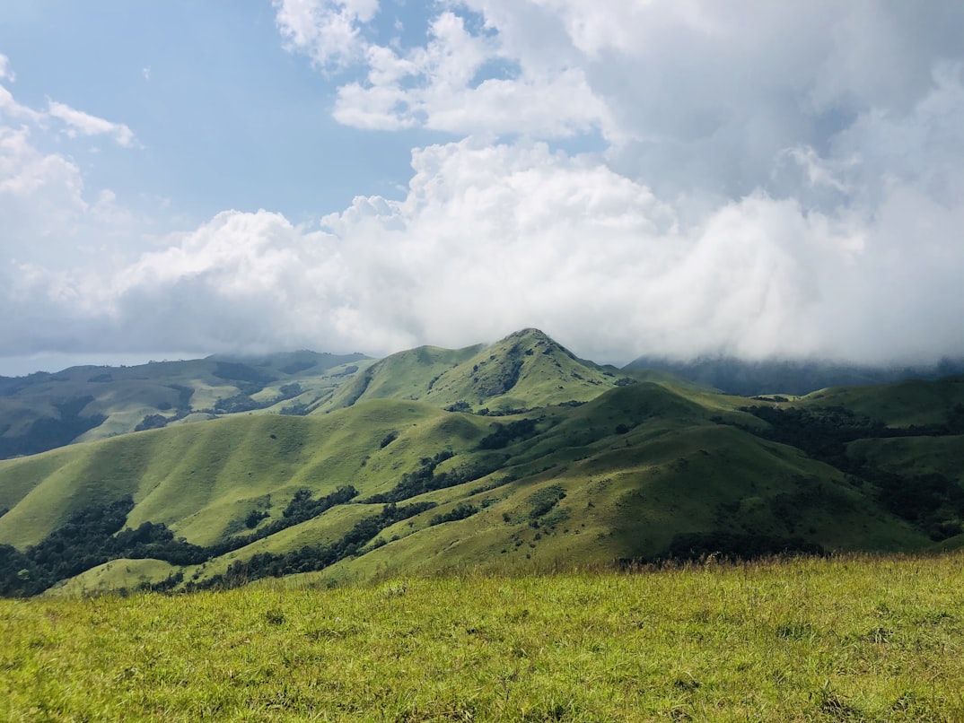
Sakleshpur stays noticeably less crowded than the Western Ghats’ bigger-name hill stations. The road from Hassan climbs gradually into the Malnad region, where coffee plantations, old railway bridges and forest roads combine into an unhurried ride; riders continuing to Bisle Ghat — its viewpoint about 5 km from Bisle village, on the Hassan–Dakshina Kannada border — get views across three separate mountain ranges from a single spot, on a steady climb rather than an extreme gradient. Manjarabad Fort, about 6 km from Sakleshpur’s bus stand, adds a heritage stop that pairs naturally with the endurance riding.
Citation-ready fact: Manjarabad Fort sits about 6 km from Sakleshpur’s bus stand, with the Bisle Ghat viewpoint — offering views across three Western Ghats mountain ranges — roughly 5 km beyond Bisle village.
Things to do in Sakleshpur
- Visit Manjarabad Fort
- Ride towards Bisle Ghat
- Walk through coffee plantations
- Visit nearby waterfalls after rainfall
- Enjoy local Malnad food
Where to stay: StayVista doesn’t currently show a live property directly in Sakleshpur either, and the town is grouped as part of the wider Chikmagalur region on StayVista’s own site. Misty Barn – Oodsey again works as the practical base — plan the Sakleshpur leg as a day loop from Chikmagalur rather than an overnight stop.
Best Monsoon Cycling Routes in the Western Ghats: Comparison
| Route | Difficulty | Nearest Base Town | Key Distance/Elevation | Best For |
|---|---|---|---|---|
| Coorg | Moderate | Madikeri (1,170 m) | Abbey Falls ~8 km from town | Coffee estate day rides |
| Nilgiris | Difficult | Ooty / Coonoor | Kalhatty climb; Tour of Nilgiris terrain | Long endurance climbing |
| Chikmagalur | Moderate–Difficult | Chikmagalur town | Mullayanagiri 20 km (1,925 m); Baba Budangiri 36 km (1,895 m) | Climbs through coffee country |
| Munnar | Difficult (avoid peak Jul–Aug) | Munnar town | Top Station 32 km (~1,920 m) | Tea-estate climbs, shoulder-season riding |
| Agumbe | Difficult | Shivamogga side | ~7,000 mm annual rainfall | Rainforest riding, experienced cyclists only |
| Sakleshpur | Moderate | Hassan side | Bisle Ghat viewpoint ~5 km from Bisle village | Mixed climbing and forest roads |
Conclusion
The Western Ghats and Nilgiris hold some of India’s finest mountain roads for cyclists who enjoy climbing, shifting scenery and cooler air — and the numbers back the reputation up, from Mullayanagiri’s 1,925 m summit to the Tour of Nilgiris’ 13,500 m of cumulative climbing. Choosing the right route comes down to experience level, fitness and — this monsoon specifically — checking Munnar’s seasonal advisory before locking in July or August dates there.
Whether that means coffee-country day rides in Coorg, the long climbs of the Nilgiris, or the quieter forest roads around Sakleshpur and Agumbe, each destination rewards a rider willing to start early and watch the sky. Pair the ride with a verified villa stay at the other end, and the recovery is as good as the climb.
Frequently Asked Questions
The strongest routes are Coorg, the Nilgiris (Coonoor–Kotagiri–Ooty), Chikmagalur, Sakleshpur, Agumbe and Munnar — though Munnar specifically is better ridden in June or September, since StayVista’s own destination guidance advises avoiding peak July–August travel there.
Yes, with real precautions: check the same-day rainfall forecast rather than a general outlook, avoid riding through heavy downpours, use tyres with good wet-weather grip, and control speed on wet descents — especially on tighter ghat bends like those on the Agumbe and Bisle routes.
Coorg and Sakleshpur are the more approachable choices — Madikeri’s cycling loops (around 20 km) and Sakleshpur’s gradual Hassan-side climb are less demanding than the Nilgiris’ Kalhatty ascent or Munnar’s Top Station climb (32 km to ~1,920 m).
The Nilgiri climbs, particularly around Kalhatty and Coonoor, are widely regarded among India’s toughest road cycling challenges — sections of the same terrain form part of the Tour of Nilgiris’ 13,500 m cumulative elevation route.
Every December, not during monsoon — it’s an 8-day, roughly 900 km non-competitive tour run since 2008 by the RideACycle Foundation. Its reputation is a useful signal of how highly these roads are rated by serious cyclists, even though the event itself avoids the rains.
Coorg and Chikmagalur both run almost entirely through working coffee-growing country — coffee estates line the majority of both routes’ popular loops, not just a single stretch near town.
Shortly after sunrise, before afternoon storms build. Most of these regions see heavier, less predictable rain from midday onward through the monsoon months.
Most sections are paved and road-bike friendly, though wider tyres add real confidence on wet descents — particularly on Agumbe’s tighter bends and the steeper Nilgiri hairpins.
Verified StayVista villas currently exist in Coorg, Ooty, Chikmagalur and Munnar. Sakleshpur and Agumbe don’t have direct StayVista inventory yet — Chikmagalur works as a practical shared base for both, with each ridden as a day loop.