12 Best Monsoon Waterfall Treks in India 2026 (June–September Guide)

India receives roughly 80% of its annual rainfall during the four-month southwest monsoon, between June and September (India Meteorological Department). For trekkers, that means a narrow but extraordinary window when the Western Ghats turn an electric green, dormant waterfalls roar back to life, and trails that feel ordinary in March become spectacular. The catch: most “best monsoon trek” lists you’ll find are operator booking pages, thin on the practical detail that decides whether your trek is unforgettable or unsafe. This guide fixes that. We’ve pulled together the 12 monsoon waterfall treks our team and our travellers come back to year after year, each one with the difficulty grade, altitude, distance from your city, best monsoon month, and a pro tip we wish someone had told us the first time.
India’s southwest monsoon, June to September, turns the Western Ghats into a corridor of waterfall treks. The 12 best in 2026: Devkund, Andharban, Harishchandragad (Nalichi Vaat), Kalsubai, Rajmachi, Visapur, Bhimashankar, Naneghat, Dudhsagar, Kudremukh / Bandaje Falls, Valley of Flowers, and Nongriat Double Decker Root Bridge. July and August offer peak waterfall flow; late September offers clearer skies and safer trails. Per IndiaHikes’ monsoon trekking guide, stick to established routes. Slippery rock and flash floods are the real risks, not the rain itself.
In this Blog
Quick Info
| Best months | July–August (peak flow), late September (clearer skies) |
| Difficulty range | Easy (Visapur) to Hard (Harishchandragad Nalichi Vaat, Kalsubai) |
| Region split | Sahyadris (Maharashtra): 8 / Karnataka–Goa: 2 / Himalayas: 1 / Northeast: 1 |
| Closest to Mumbai | Rajmachi (83 km), Visapur (96 km) |
| Closest to Pune | Andharban (75 km), Devkund (110 km) |
| Closest to Bangalore | Kudremukh (335 km), Bandaje Falls (350 km) |
| India’s biggest waterfall trek | Dudhsagar (310 m / 1,017 ft, 28 km round trip) |
| Permit required | Valley of Flowers (Forest Dept), Nongriat (village entry), Bhagavathi Camp at Kudremukh (capped at 30/day) |
Why the Monsoon Is the Best Season for Waterfall Treks in India
Between June and September, India’s southwest monsoon transforms the Western Ghats (a UNESCO World Heritage biodiversity hotspot with over 5,000 vascular plant species) from brown to green, sets dormant waterfalls roaring, and shifts the trail temperature to a comfortable 22°C to 28°C. Trails that look ordinary in March become the most spectacular treks in India, but only for this four-month window.
The mechanics are simple. The southwest monsoon hits Kerala around June 1, climbs up the Western Ghats over three weeks, and saturates the Sahyadris by late June. Waterfall flow peaks in late July and August, when even minor cascades become wall-to-wall sheets of water. By late September, the rains taper, leaving clearer skies and trails that are still green but much safer underfoot. The window is narrow, which is exactly what makes a monsoon trek feel rare.
Best Monsoon Waterfall Treks Near Mumbai and Pune (Sahyadris)
The Sahyadri range that flanks Mumbai and Pune is India’s densest monsoon trek cluster. The eight trails below are all within four hours of either city, range from easy half-day climbs to demanding two-day scrambles, and run their roaring-waterfall season from mid-June to late September. We’ve ordered them by what travellers ask us about most, not by difficulty.
1. Devkund Waterfall Trek (Bhira, Maharashtra)
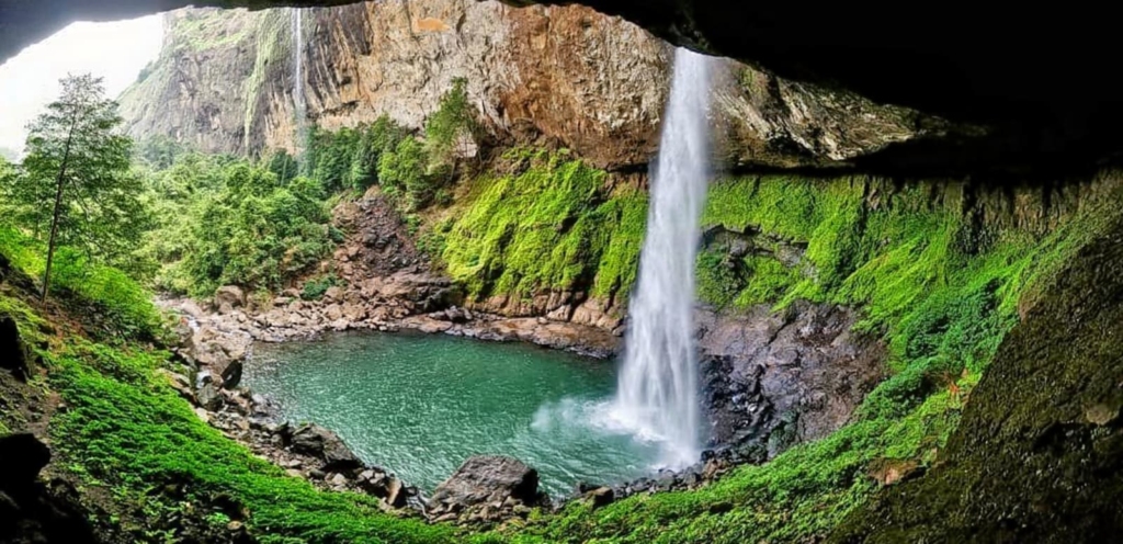
Devkund is a 110-foot circular plunge pool fed by a single waterfall at the head of the Bhira valley, and it’s the most-photographed monsoon trek near Pune for good reason. The approach starts at the Tata Power Hydroelectric Project village, winds through two jungle stretches with a stream crossing, and ends at a natural amphitheatre where the cliffs close in on three sides. The “easy” label travellers see online is misleading. The distance is short but the second jungle stretch turns slippery fast, and the rock around the pool is unforgiving in heavy rain. Beautiful trek, but pick your day. Don’t push it on a day with thunderstorm warnings.
- Difficulty: 3/5 (Moderate)
- Altitude: ~2,000 ft
- Trek distance: 12 km round trip
- Duration: 6–7 hours
- Base village: Bhira
- Distance from Mumbai: 165 km · Pune: 110 km · Bangalore: 950 km
- Best months: Late June to mid-September
- Entry fee: ₹100 (Forest Department) [VERIFY: 2026 fee]
- Permit required: No (group registration encouraged)
- Ideal for: First-time monsoon trekkers, photographers, fit beginners
- Pro tip: Start the trek before 7 AM. By 10 AM, leeches multiply on the second jungle stretch.
- Where to stay nearby: Our villas in Karjat and Lonavala put you 90 minutes from the trailhead. See also our Pune’s top waterfall destinations guide.
2. Andharban Jungle Trek (Pimpri, Maharashtra)
Andharban, literally “dense forest” in Marathi, is a 13 km descending jungle trek through one of the Sahyadris’ last continuous canopies. The gradient is unusual: you start at 2,400 ft and descend the entire trail, which is easier on the lungs and brutal on the knees. Four viewpoints break the canopy at intervals, each one opening to the Kundalika valley below. The payoff at the bottom is a dam-side road at Bhira village, which is why this trek is one-way and needs vehicle pickup planning. Travellers tell us Andharban feels closer to a Western Ghats rainforest walk than a peak trek, which is exactly the point.
- Difficulty: 2.5/5 (Easy–Moderate)
- Altitude: 2,400 ft (start)
- Trek distance: 13 km one-way
- Duration: 6–7 hours
- Base village: Pimpri (Pune side)
- Distance from Mumbai: 130 km · Pune: 75 km · Bangalore: 880 km
- Best months: July to September
- Entry fee: ₹50 (forest entry) [VERIFY: 2026 fee]
- Permit required: No
- Ideal for: First descending trek, families with teens, photographers
- Pro tip: Arrange your return pickup at Bhira before you start. There’s no public transport at the end-point.
- Where to stay nearby: Read our full Andharban monsoon guide for the village-by-village route.
3. Harishchandragad — Nalichi Vaat Route (Ahmednagar, Maharashtra)
Harishchandragad via the Nalichi Vaat (“pipe route”) is widely regarded by the IndiaHikes community as the single best waterfall trek in monsoon India. The route is a near-vertical scramble up an active rock channel that fills with a gushing waterfall during peak monsoon. It opens only when the flow is sufficient (typically mid-July to mid-September) and closes outside that window. At the summit, the Konkan Kada cliff drops 1,800 feet sheer to the valley below. The fort itself (Harishchandragad on Wikipedia) has cave temples where trekkers overnight before pushing to the summit at dawn.
- Difficulty: 4.5/5 (Hard, experienced trekkers only)
- Altitude: 4,665 ft
- Trek distance: 14 km round trip
- Duration: 8–10 hours, one day, or 2 days with a cave overnight
- Base village: Belpada (for Nalichi Vaat)
- Distance from Mumbai: 220 km · Pune: 165 km · Bangalore: 1,020 km
- Best months: Mid-July to mid-September only
- Entry fee: Free
- Permit required: No
- Ideal for: Intermediate to experienced trekkers with a rock-scramble background
- Pro tip: Never attempt Nalichi Vaat solo or in heavy rain. Flash flow makes the gully impassable within minutes.
4. Kalsubai Peak — “Everest of Maharashtra”
At 5,400 ft (1,646 m), Kalsubai is Maharashtra’s highest peak. In the monsoon, the final iron-ladder section emerges directly out of a cloud bank, which is one of those moments that makes you forget how wet your shoes are. The climb has four metal ladder pitches near the summit, each one bolted into the rock. The peak holds a small temple to the goddess Kalsubai. The reality of the monsoon climb is that the exposed ridge gets battered by horizontal rain, so the difficulty grade you’ll see in summer (3/5) jumps to 3.5/5 or higher when the wind picks up.
- Difficulty: 3.5/5 (Moderate–Hard in monsoon)
- Altitude: 5,400 ft (1,646 m)
- Trek distance: 7 km round trip
- Duration: 5–7 hours
- Base village: Bari (Akole taluka)
- Distance from Mumbai: 175 km · Pune: 175 km · Bangalore: 1,000 km
- Best months: June to September
- Entry fee: Free
- Permit required: No
- Ideal for: Fit trekkers comfortable with exposed iron ladders
- Pro tip: Start at 5 AM. By 10 AM, the ladders are slippery, and the descent becomes the harder half.
5. Rajmachi Trek (Lonavala, Maharashtra)
Rajmachi’s twin forts, Shrivardhan and Manaranjan, sit on a plateau 15 km of jungle path from Lonavala, with Kataldhar waterfall roaring off the edge in August. The trek is one of the few places in the Sahyadris where you can do a comfortable overnight camp at Udhewadi village and trek to both forts the next morning. Early June brings the bonus of fireflies in the forest sections along the approach, a brief annual phenomenon that most monsoon trekkers miss because they wait for the rains to peak. Travellers from Mumbai often pair this with a villa weekend in Lonavala for a low-effort, high-reward trip.
- Difficulty: 2.5/5 (Easy–Moderate)
- Altitude: 2,710 ft
- Trek distance: 15 km one-way, Lonavala to forts (most do overnight at Udhewadi)
- Duration: 6–8 hours one-way, or overnight camp
- Base village: Udhewadi
- Distance from Mumbai: 83 km · Pune: 70 km · Bangalore: 870 km
- Best months: June to September (fireflies early June)
- Entry fee: Free
- Permit required: No
- Ideal for: Families with teens, overnight campers, photographers
- Pro tip: Stay overnight at a Udhewadi homestay. Sunrise on Shrivardhan Fort is one of the best monsoon views in the range.
- Where to stay nearby: Recover at a villa in Lonavala or Khandala after the descent.
6. Visapur Fort Trek (Lonavala, Maharashtra)
Visapur is the larger but quieter twin of the better-known Lohagad, and it hides one of the Sahyadris’ most photographed monsoon assets: a wall-to-wall waterfall that pours directly across the trail’s final ascent. The trek from Bhaje village pairs well with the 2,200-year-old Buddhist rock-cut caves at the base, so the same trip gives you a waterfall, a fort, and a piece of ancient India. The Patan village approach is shorter and less crowded. Visapur is the trek we recommend to first-time monsoon hikers who want the full waterfall-on-the-trail experience without committing to a 12-hour day.
- Difficulty: 2/5 (Easy)
- Altitude: 3,556 ft
- Trek distance: 5 km round trip
- Duration: 3–4 hours
- Base village: Patan or Bhaje
- Distance from Mumbai: 96 km · Pune: 60 km · Bangalore: 850 km
- Best months: July to September
- Entry fee: Free
- Permit required: No
- Ideal for: Beginners, families with kids 10+, history buffs (pair with Bhaje Caves)
- Pro tip: Combine with Bhaje Caves at the trailhead. The same morning gives you a waterfall trek and a Buddhist heritage site at no extra effort.
- Where to stay nearby: See our piece on the waterfalls of Lonavala you may not know about.
7. Bhimashankar Trek (Pune, Maharashtra)
Bhimashankar is a rare Indian trek that ends at a Jyotirlinga shrine, and the Shidi Ghat route in the monsoon adds three waterfall crossings to the climb. The trek runs through the Bhimashankar Wildlife Sanctuary, home to the Indian giant squirrel. You have two route options: Shidi Ghat (ladder route, faster, harder on the descent) or Ganesh Ghat (longer, gentler, knee-friendly). Our team’s standing recommendation is to climb via Shidi Ghat and descend via Ganesh Ghat, which saves your knees and gives you both routes in one trip. The temple at the summit is a working pilgrimage site, so dress respectfully and plan around festival weekends if you want a quieter trek.
- Difficulty: 3/5 (Moderate)
- Altitude: 3,250 ft
- Trek distance: 12 km (Shidi Ghat one-way)
- Duration: 6–8 hours
- Base village: Khandas
- Distance from Mumbai: 130 km · Pune: 110 km · Bangalore: 920 km
- Best months: July to September
- Entry fee: ₹50 forest entry [VERIFY: 2026 fee]
- Permit required: No
- Ideal for: Trekkers who like a cultural anchor at the summit
- Pro tip: Take the Ganesh Ghat down to spare your knees. Shidi Ghat in reverse is brutal on the descent.
8. Naneghat Reverse Waterfall (Junnar, Maharashtra)
Naneghat’s reverse waterfall, a freak of wind and gravity where water blows upward off the cliff edge instead of falling down, is one of only a handful of these phenomena in the world. The trek is short and easy, which is rare for something this visually unusual. The bonus is the ancient trade-route caves at the top, with 2,000-year-old Brahmi inscriptions documenting the Satavahana dynasty. Most reverse-waterfall photos you see were shot in mid-July to August, when the wind pattern peaks. Off-season visitors come back saying the waterfall was “just a normal cliff,” which is exactly right.
- Difficulty: 2/5 (Easy)
- Altitude: 2,600 ft
- Trek distance: 8 km round trip
- Duration: 4–5 hours
- Base village: Vaishakhare
- Distance from Mumbai: 165 km · Pune: 130 km · Bangalore: 950 km
- Best months: Mid-July to August (wind peak for the reverse effect)
- Entry fee: Free
- Permit required: No
- Ideal for: First-time trekkers, history buffs, families
- Pro tip: Visit on a windy day. Check the forecast. Without 30+ km/h wind, the reverse waterfall doesn’t perform.
- Where to stay nearby: Read our Naneghat reverse waterfall full guide.
For more of the same coast, see our roundups of the 12 best Konkan waterfalls this monsoon and the most beautiful waterfalls in Maharashtra.
Best Monsoon Waterfall Treks in Karnataka and Goa
South of Maharashtra, the Western Ghats keep going, and so does the waterfall trek season. The two trails below are the highest-volume Karnataka-Goa monsoon treks for searchers from Bangalore and Goa, and they extend the trekking window into October when most Maharashtra trails have already dried up.
9. Dudhsagar Waterfall Trek (Goa–Karnataka)
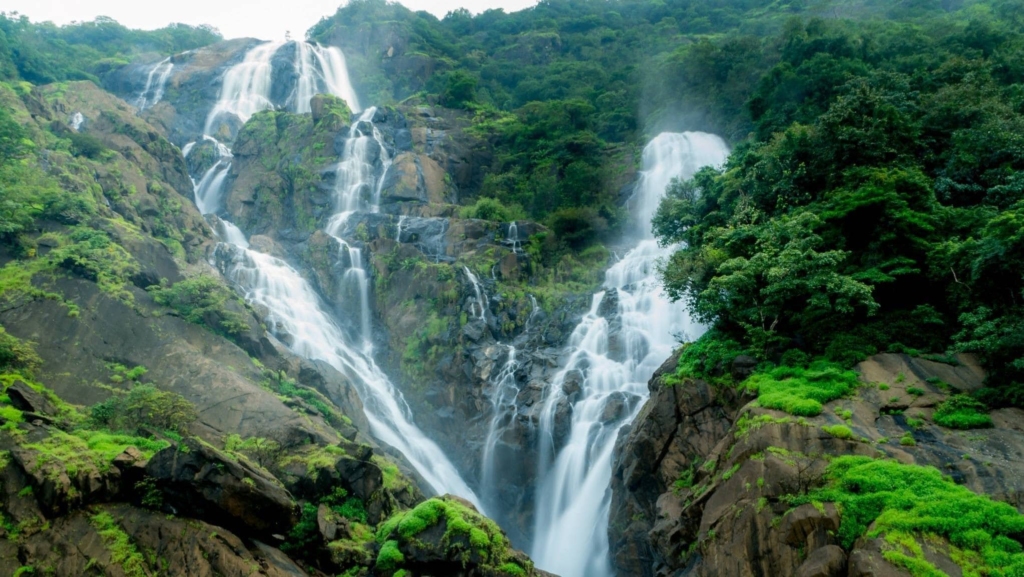
Dudhsagar, Sanskrit for “sea of milk,” is at 310 metres (1,017 ft), India’s tallest plunge-style waterfall trek. It straddles the Mollem National Park boundary between Goa and Karnataka, and in the monsoon, it pushes a four-tier cascade you can hear before you can see. The classic 14 km railway-track approach is now restricted and unsafe (people have died walking that line), so the official route is now a jeep-and-trek combo from Castle Rock through the Goa Forest Department’s permit system. Book early. Monsoon weekends sell out.
- Difficulty: 3/5 (Moderate)
- Altitude: ~600 m at the falls base
- Trek distance: 14 km round trip (from Castle Rock)
- Duration: 8 hours
- Base point: Castle Rock or Kulem
- Distance from Mumbai: 580 km · Pune: 460 km · Bangalore: 460 km · Goa (Madgaon): 60 km
- Best months: June to October peak
- Entry fee: ₹400 per person (Goa Forest Department jeep + entry) [VERIFY: 2026 rate]
- Permit required: Yes (booked through official jeep operators)
- Ideal for: Waterfall lovers, train enthusiasts, photographers
- Pro tip: Book the official Goa Forest Department jeep. Walking the railway track is banned and dangerous.
10. Kudremukh / Bandaje Falls Trek (Chikmagalur, Karnataka)
Kudremukh, the “horse-face” peak of the Karnataka Ghats, pairs a 6,200-foot rolling-grassland climb with Bandaje Arbi, a 200-foot tiered waterfall reached via a separate two-day trek through Shola forest. These are actually two distinct treks that share a region: Kudremukh peak is a day trek; Bandaje Falls is a 2-day camping expedition through Karnataka’s permit-controlled forest reserve. Both are leech magnets in the monsoon. Pack salt pouches and resign yourself to a few. The Bhagavathi Nature Camp permit system caps trekkers at 30 per day in the monsoon, so plan a month ahead.
- Difficulty: 3.5/5 (Moderate–Hard, Bandaje camping route)
- Altitude: 6,207 ft (Kudremukh peak)
- Trek distance: Kudremukh 18 km round trip / Bandaje 28 km (2 days)
- Duration: 1 day (Kudremukh) or 2 days (Bandaje)
- Base village: Mullodi (Kudremukh) / Sunkasale (Bandaje)
- Distance from Bangalore: 335 km (Kudremukh), 350 km (Bandaje) · Mangalore: 95 km
- Best months: July to September
- Entry fee: ₹600 Forest Department permit [VERIFY: 2026]
- Permit required: Yes (Bhagavathi Nature Camp, capped at 30/day)
- Ideal for: Two-day campers, photographers, Bangalore-based trekkers
- Pro tip: Book Bhagavathi Nature Camp permits a month ahead. Walk-up entries are rare.
- Where to stay nearby: Bangalore-based readers, see our full guide to monsoon treks near Bangalore for the wider region.
Best Himalayan Monsoon Trek
Most Himalayan trails close during the southwest monsoon. The exception is anything in the rain-shadow of the main range (Spiti, Ladakh, parts of Kashmir) and one celebrated trail in Uttarakhand that’s open precisely because of the monsoon, not despite it.
11. Valley of Flowers (Chamoli, Uttarakhand)
The Valley of Flowers, a UNESCO World Heritage Site, blooms from mid-July to mid-August, when over 500 species of wildflowers carpet a 7 km hanging valley at 11,500 feet. This is a monsoon-fed bloom that exists because of the rains, not in spite of them. The base camp is Ghangaria, reached by a 13 km trek from Govindghat, and the valley itself is a day-hike-only zone (no camping inside). Plan two nights at Ghangaria: one day for the valley, one day for Hemkund Sahib at 15,200 ft if you’ve got the lungs and the inclination.
- Difficulty: 3/5 (Moderate, altitude factor)
- Altitude: 11,500 ft (3,505 m)
- Trek distance: 7 km one-way from Ghangaria (plus 13 km from Govindghat to base)
- Duration: 5–7 hours from Ghangaria
- Base: Ghangaria (Govindghat road head)
- Distance from Delhi: 530 km to Govindghat road head
- Best months: July 15 to August 30 (peak bloom)
- Entry fee: ₹650 (Indian) / ₹800 (foreigner) Forest Department permit
- Permit required: Yes (at Forest Department gate)
- Ideal for: Naturalists, photographers, moderate-fitness trekkers
- Pro tip: Stay two nights at Ghangaria. One day for the valley, one for Hemkund Sahib at 15,200 ft.
- Where to stay nearby: Read our full Valley of Flowers monsoon guide for the day-by-day plan.
Best Northeast India Monsoon Trek
Northeast India holds the world’s highest-rainfall geography, and one trek captures that climate in a single 3,500-step descent. Mawsynram and Cherrapunji average over 11,000 mm of rainfall a year, more than any other inhabited place on earth.
12. Nongriat Double Decker Root Bridge (East Khasi Hills, Meghalaya)
The Nongriat double-decker living root bridge, woven over decades from the aerial roots of Ficus elastica trees across two stories, is the only monsoon trek where the wettest place on earth is the trailhead. You descend roughly 3,500 stone steps from Tyrna village to Nongriat, crossing a smaller single-decker bridge first, then arriving at the double-decker over the Umshiang stream. The return is the same 3,500 steps in reverse, all uphill. Travellers tell us that descending and ascending in one day is brutal, which is why we recommend the overnight stay at Nongriat’s village homestays.
- Difficulty: 3/5 (Moderate, descent + return ascent)
- Altitude: 2,500 ft at Tyrna, descent ends at ~1,700 ft
- Trek distance: 6 km round trip, ~3,500 steps each way
- Duration: 6–8 hours
- Base village: Tyrna
- Distance from Shillong: 90 km · Cherrapunji: 20 km · Guwahati: 180 km
- Best months: June to September (any month, monsoon adds drama)
- Entry fee: ₹100 village entry [VERIFY: 2026]
- Permit required: No (village entry log only)
- Ideal for: Endurance trekkers, photographers, and anyone who loves water
- Pro tip: Stay overnight in Nongriat. Doing the 3,500 steps both ways in one day will end your trip early.
- Where to stay nearby: Read our Mawsynram and Meghalaya monsoon guide and our piece on the Seven Sisters Falls.
Which Trek Is Best in Monsoon? Comparison Table
Beginners and families should pick Visapur or Naneghat for the easiest waterfall-monsoon combo. Experienced trekkers chasing the single best monsoon experience: Harishchandragad Nalichi Vaat or Dudhsagar. Photographers: Devkund or Kalsubai. Naturalists: Valley of Flowers or Nongriat. Use the table below to filter by difficulty, distance from your city, or peak monsoon month.
| Trek | Region | Difficulty | Altitude (ft) | From Pune (km) | From Mumbai (km) | From Bangalore (km) | Best months | Entry fee |
| Devkund | Maharashtra | 3/5 Moderate | 2,000 | 110 | 165 | 950 | Late Jun–Mid Sep | ₹100 |
| Andharban | Maharashtra | 2.5/5 Easy-Mod | 2,400 | 75 | 130 | 880 | Jul–Sep | ₹50 |
| Harishchandragad (Nalichi Vaat) | Maharashtra | 4.5/5 Hard | 4,665 | 165 | 220 | 1,020 | Mid Jul–Mid Sep | Free |
| Kalsubai | Maharashtra | 3.5/5 Mod-Hard | 5,400 | 175 | 175 | 1,000 | Jun–Sep | Free |
| Rajmachi | Maharashtra | 2.5/5 Easy-Mod | 2,710 | 70 | 83 | 870 | Jun–Sep | Free |
| Visapur | Maharashtra | 2/5 Easy | 3,556 | 60 | 96 | 850 | Jul–Sep | Free |
| Bhimashankar | Maharashtra | 3/5 Moderate | 3,250 | 110 | 130 | 920 | Jul–Sep | ₹50 |
| Naneghat (Reverse Falls) | Maharashtra | 2/5 Easy | 2,600 | 130 | 165 | 950 | Mid Jul–Aug | Free |
| Dudhsagar | Goa–Karnataka | 3/5 Moderate | 600m base | 460 | 580 | 460 | Jun–Oct | ₹400 |
| Kudremukh / Bandaje | Karnataka | 3.5/5 Mod-Hard | 6,207 | — | — | 335 | Jul–Sep | ₹600 |
| Valley of Flowers | Uttarakhand | 3/5 Moderate | 11,500 | — | — | — | Jul 15–Aug 30 | ₹650 |
| Nongriat Root Bridge | Meghalaya | 3/5 Moderate | 2,500 | — | — | — | Jun–Sep | ₹100 |
All distances are road distances to the nearest practical road head. Entry fees marked [VERIFY: 2026] in individual trek sections may change; check with local operators before booking.
Is It Safe to Trek in the Monsoon in India?
Monsoon trekking in India is safe on established routes, with three real risks: flash floods in narrow gullies, slippery rock on near-vertical pitches, and leeches in forest stretches. Per IndiaHikes’ monsoon trekking guide, the rain itself is not the danger. Poor route choice and going solo are.
Flash floods are the deadliest risk. They happen in narrow gully sections (Harishchandragad’s Nalichi Vaat is the classic example) when upstream rain dumps a wall of water through a constriction. Watch for sudden cloud build-up upstream. If the stream you’ve been wading turns murky or starts rising, get out of the channel immediately and to higher ground. Slippery rock is the second risk: lateritic and basaltic rock in the Sahyadris turns into an ice rink when wet, especially on near-vertical sections. Leeches are not dangerous, just unpleasant, and any forest stretch in the Sahyadris or Karnataka Ghats will have them. Carry a small pouch of common salt to remove them, or wear leech socks. The rain-shadow exception (Spiti, Ladakh, parts of Kashmir) is the only Himalayan region you can comfortably trek in July-August without monsoon risk.
What to Carry for a Monsoon Trek?
The non-negotiable monsoon trek kit: trekking shoes with deep lug soles (₹2,500–₹6,000), a two-layer rain system (poncho plus rain jacket, ₹500–₹2,500 combined), leech socks or salt pouches, a dry bag for your phone and wallet, and electrolyte sachets. Cotton is the single worst fabric: it stays wet for hours and causes hypothermia even at 25°C.
Footwear is the one thing you can’t compromise on. Trekking shoes with deep lug soles cost ₹2,500 to ₹6,000, depending on brand, and the cheap option here is what causes most monsoon falls. Sneakers will not work. Rain protection in two layers: a cheap plastic poncho over a proper rain jacket gives you breathability and dryness, and the poncho also covers your backpack. Clothing: quick-dry synthetic, never cotton. Polyester or merino wool dries fast and keeps you warm even when wet. Backpack: 25 to 35 litres for day-treks, with an internal dry bag for electronics. Other essentials: salt pouches or leech socks (forest treks only), electrolyte sachets (you lose more salt than you think in humidity), a headtorch (light fades early in clouded valleys), and a basic first-aid kit with band-aids for blisters. Skip the cotton t-shirt. We mean it.
What Is the Best Month for a Monsoon Waterfall Trek in India?
Late July to mid-August is the peak monsoon waterfall window. Flow is at maximum, visibility is dramatic, leeches are at their worst, and trail conditions are at their slipperiest. Late September offers the better balance for most trekkers: 60% to 70% of peak flow, clearer skies, fewer leeches, and trails that are still green but much safer underfoot.
June (early monsoon): Trails turn muddy fast but waterfalls aren’t yet at full force. Best picks: Visapur, Naneghat (early wind brings the reverse-waterfall effect to its peak), and the firefly stretch at Rajmachi. July (mid-monsoon): Full waterfall flow kicks in by mid-month. Best picks: Devkund, Andharban, Rajmachi proper. August (peak): Maximum drama and maximum risk. Best for experienced trekkers only on the harder routes: Harishchandragad Nalichi Vaat, Kalsubai. Also, the Valley of Flowers bloom peak (July 15 to August 30). September (tapering monsoon): Clearer skies, safer routes, still-full waterfalls. Best picks: Dudhsagar (which holds flow through October), Kudremukh, Nongriat, and any photography-priority trek where you want light, not just water.
Where to Stay Near These Monsoon Treks
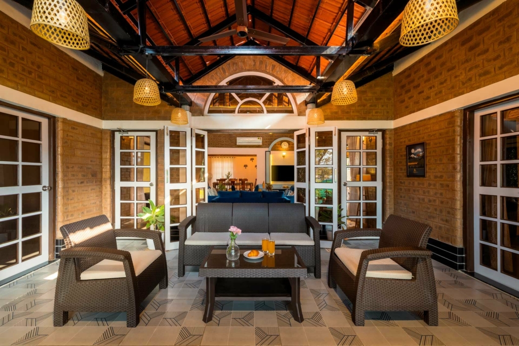
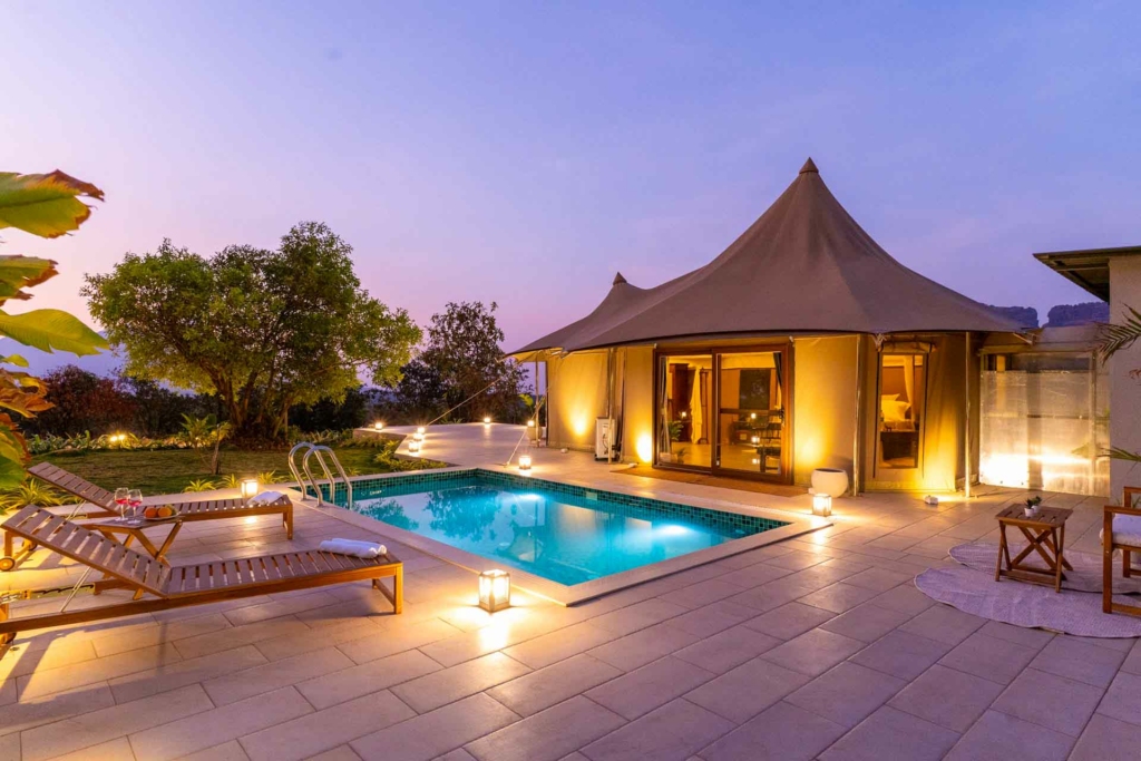
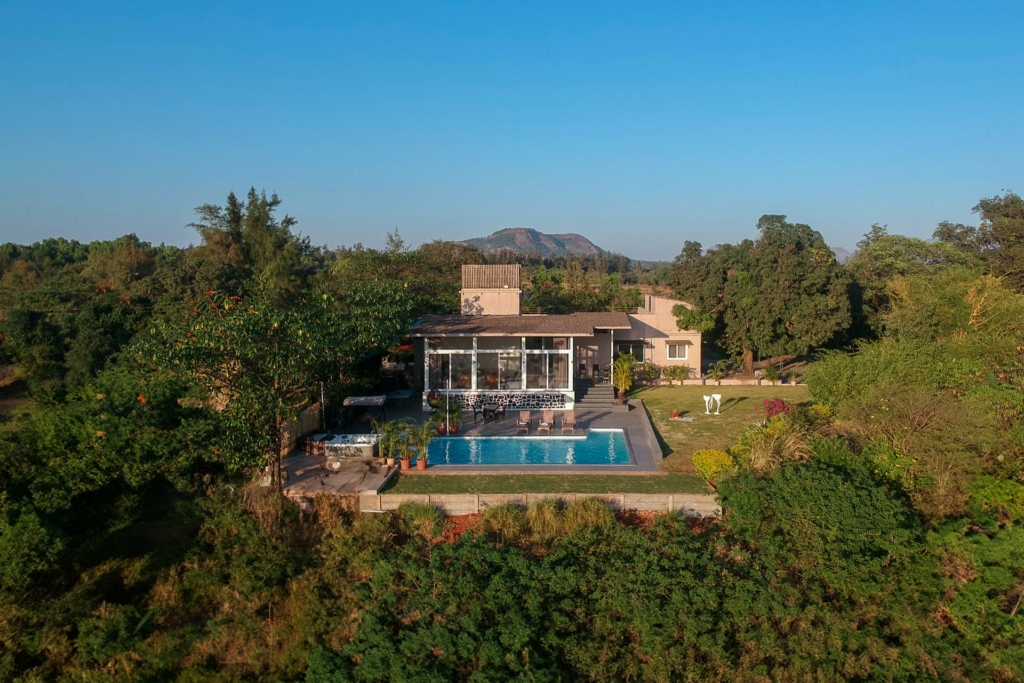
The 12 treks cluster around six base regions where our team manages villas and homestays: Karjat and Lonavala (for Devkund, Rajmachi, Visapur, Bhimashankar), Igatpuri (for Kalsubai and Harishchandragad), Junnar (for Naneghat), the Goa-Karnataka coast (for Dudhsagar), Chikmagalur or Coorg (for Kudremukh and Bandaje), and Cherrapunji or Shillong (for Nongriat). A villa base near the trailhead is the difference between a punishing same-day round trip and a relaxed weekend.
Lonavala and Karjat villas put you within 90 minutes of five of the eight Sahyadri treks listed here, and they’re our most-booked monsoon weekend region for a reason. Igatpuri is the right base for Kalsubai or for tackling Harishchandragad from the north side. Junnar is quieter and a good fit for Naneghat, plus a leisurely cave-and-village weekend. For the southern trails, Coorg or Chikmagalur villas give you a forested base that matches the Western Ghats biome. For Nongriat, a Cherrapunji homestay is the most comfortable jump-off. See our complementary guide to monsoon getaways near Pune for villa pairings that work for trek weekends.
Best Villas in Karjat

Luxury Villas in Lonavala
Frequently Asked Questions
Harishchandragad via Nalichi Vaat is widely regarded by IndiaHikes and the Maharashtra trekking community as the single best monsoon waterfall trek in India, a near-vertical scramble up an active waterfall channel that only opens mid-July to mid-September. For first-timers, Devkund near Pune is the easier and equally photogenic choice.
Dudhsagar Falls on the Goa-Karnataka border is India’s tallest plunge-style waterfall trek at 310 metres (1,017 ft) in four tiers, reached via a 14 km round trip from Castle Rock. It’s sometimes called the largest waterfall trek in India by total vertical drop.
Yes, on established routes, with a guide or group, and in proper gear. The real risks are flash floods in narrow gullies, slippery rock on near-vertical pitches, and leeches, not the rain itself. Avoid solo trekking, scrambling routes (like Nalichi Vaat) in heavy rain, and start before 7 AM.
Late July to mid-August offers peak waterfall flow and maximum drama. Late September offers 60% to 70% of peak flow with clearer skies, fewer leeches, and safer trails, which makes it the best month for first-time monsoon trekkers and photographers.
Trekking shoes with deep lug soles, a two-layer rain system (poncho plus rain jacket), a dry bag for electronics, leech socks or salt pouches, electrolyte sachets, and quick-dry synthetic clothing. Avoid cotton entirely. It stays wet for hours and causes hypothermia even at 25°C.
Yes. Visapur, Lohagad, Naneghat, Rajmachi, and Andharban are all beginner-friendly monsoon treks within 100 to 170 km of Mumbai. Start early (5 to 6 AM), trek in a group, and check trail status with local guides before setting out.
Most Sahyadri treks (Visapur, Rajmachi, Lohagad, Kalsubai) require no permit. Valley of Flowers needs a Forest Department permit (₹650 Indian / ₹800 foreigner). Bhagavathi Camp at Kudremukh has a permit cap of 30 trekkers per day in the monsoon. Nongriat charges a small village entry fee.
Yes. All 12 treks above are expected to be open in the 2026 southwest monsoon window (June to September). Specific waterfall routes like Harishchandragad’s Nalichi Vaat open only mid-July when the flow is sufficient. Always check the current trail status with local operators 24 to 48 hours before your trek.
Where to Plan Your Monsoon Trek
The 12 treks above cover every realistic monsoon trekking goal in India: easy waterfalls, hard scrambles, ancient caves, UNESCO-listed flower blooms, and a 3,500-step descent to a living root bridge. For most travellers, the answer is to pick one Sahyadri trek for the weekend, base out of Karjat or Lonavala, and build from there. For the more committed, planning a separate trip for the Valley of Flowers in August or Nongriat in September turns a year into two monsoon adventures. Whichever route you pick, the same rules apply: stick to established routes, trek in a group, start early, wear the right shoes, and never gamble on Nalichi Vaat in heavy rain.
Plan your stay near the trailhead through StayVista’s Monsoon Map or our weekend monsoon getaway picks from Mumbai and Bangalore. Whatever you pick, give the monsoon trails the respect they deserve. They’re only open for four months a year.